


11 km | 17,4 km-effort
Wettingen: Ontdek de beste tochten: 12 te voet. Al deze tochten, trajecten, routes en outdoor activiteiten zijn beschikbaar in onze SityTrail-apps voor smartphones en tablets.
Te voet


• Symbol: Schwarze 1 auf gelbem Hintergrund
Te voet
• Symbol: Schwarze 2 auf orangem Hintergrund
Te voet
• Symbol: Weisse 5 auf violettem Hintergrund
Te voet
• Symbol: Weisse 7 auf blauem Hintergrund
Te voet
• Mooshalden - Eggetsacher Symbol: gelbe Raute
Te voet
• Trail created by Zürcher Wanderwege ZAW. Symbol: gelbe Raute
Te voet
• Trail created by Verein Aargauer Wanderwege. Killwangen - Wettingen Symbol: gelber Diamant
Te voet
• Trail created by Verein Aargauer Wanderwege. Wettingen - Rüsler Symbol: gelber Diamant
Te voet
• Schartenfels - Lägernsattel Symbol: gelbe Raute
Te voet
• Lägeren Burghorn - Mooshalden Symbol: weiss-rot-weiss
Te voet
• Symbol: gelbe Raute

Te voet
• Symbol: gelbe Raute
12 tochten weergegeven op 12
Gratisgps-wandelapplicatie
 SityTrail
IGN / Geografische instituten
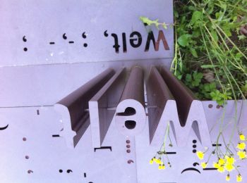
SityTrail World
De wereld gaat voor u open