


8 km | 14,4 km-effort
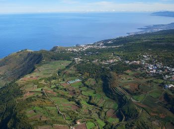
Santa Cruz de Tenerife: Ontdek de beste tochten: 101 te voet, 413 stappen, 14 lopen en 6 trail. Al deze tochten, trajecten, routes en outdoor activiteiten zijn beschikbaar in onze SityTrail-apps voor smartphones en tablets.
Stappen


Stappen
• Rando depuis la maison de Cyran.

Te voet
• Trail created by Cabildo Insular de Tenerife.
Te voet
• The Way is signposted annually
Te voet
• Trail created by Ayuntamiento Villa de Arico. Symbol: parallel horizontal bars white white
Te voet
• Trail created by Ayuntamiento de El Tanque. Symbol: parallel horizontal bars green white
Te voet
• Trail created by Ayuntamiento de El Tanque. Symbol: parallel horizontal bars green white
Te voet
• Website: http://www.senderosdelapalma.es/senderos/lista-de-senderos/senderos-autoguiados/
Te voet
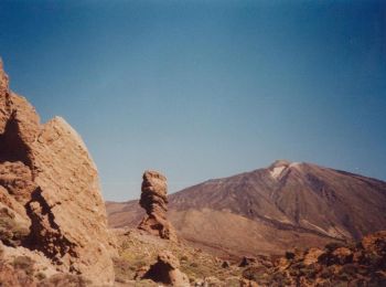
• Trail created by Parque Nacional del Teide.

Te voet
• Trail created by Parque Nacional del Teide.
Te voet
• Trail created by Senderos de La Palma. Symbol: parallel horizontal bars green white

Te voet
• Trail created by Senderos de La Palma. Symbol: parallel horizontal bars green white
Te voet
• Trail created by Cabildo de La Palma. Symbol: parallel horizontal bars green white
Te voet
• Trail created by Senderos de La Palma. Symbol: parallel green and white horizontal bar
Te voet
• Trail created by Senderos de La Palma.
Te voet
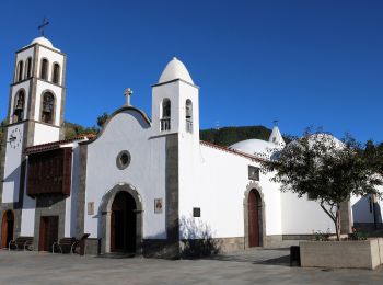
• Trail created by Ayuntamiento de Tegueste. Symbol: parallel horizontal bars green white
Te voet
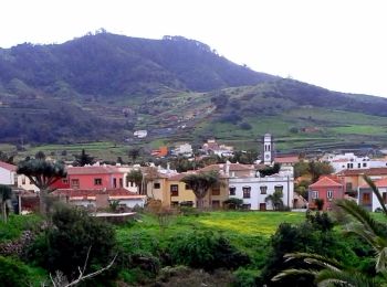
• Trail created by http://www.santiagodelteide.org/. Symbol: parallel horizontal bars green white
Te voet
• Trail created by Ayuntamiento de Tegueste. Symbol: parallel horizontal bars green white
Te voet
• Symbol: parallel horizontal bars green white
Te voet
• Trail created by Cabildo Insular de La Palma. Symbol: parallel horizontal bars green white
20 tochten weergegeven op 534
Gratisgps-wandelapplicatie
 SityTrail
IGN / Geografische instituten
SityTrail World
De wereld gaat voor u open