


9,8 km | 17,3 km-effort
Saint-Geniez: Ontdek de beste tochten: 39 stappen en 5 te voet. Al deze tochten, trajecten, routes en outdoor activiteiten zijn beschikbaar in onze SityTrail-apps voor smartphones en tablets.

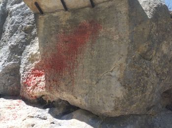
Stappen


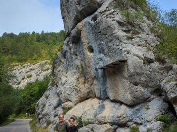
Stappen
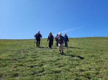
Stappen
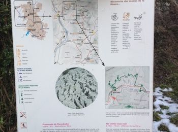
Stappen
Stappen

Stappen

Stappen

Stappen

Stappen

Stappen
• ALTA-15-N°0401F35-GR653D
Stappen
•

Stappen

Stappen
Stappen
Stappen

Stappen

Stappen

Stappen

Stappen
Stappen
20 tochten weergegeven op 44
Gratisgps-wandelapplicatie
 SityTrail
IGN / Geografische instituten
SityTrail World
De wereld gaat voor u open