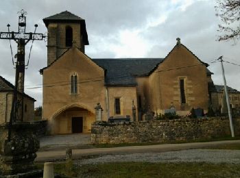
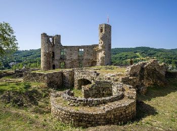
Bertholène, Aveyron, Te voet: Top van de beste wandelroutes, trajecten, tochten en wandelingen

2 opmerkingen

Bertholène: Ontdek de beste tochten: 5 stappen en 1 lopen. Al deze tochten, trajecten, routes en outdoor activiteiten zijn beschikbaar in onze SityTrail-apps voor smartphones en tablets.


De beste trajecten (6)
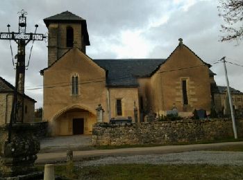
Tocht Stappen Bertholène - les bourines - Photo
Stappen 8.982
Km

Stappen

Gemakkelijk
Bertholène, Occitanië, Aveyron, France
9 km | 11 km-effort
2h 33min
152 m
154 m
Ja
Lacaze

• départ d'Anglars

Tocht Stappen Bertholène - les bourines - Photo
Stappen 8.981
Km

Stappen

Gemakkelijk
(1)
Bertholène, Occitanië, Aveyron, France
9 km | 11 km-effort
2h 33min
152 m
154 m
Ja
Lacaze

• depart Anglais

Tocht Stappen Bertholène - Tour du village de Bertholène - Photo
Stappen 1.047
Km

Stappen

Gemakkelijk
Bertholène, Occitanië, Aveyron, France
1 km | 1,5 km-effort
30min
37 m
35 m
Ja
tracegps

Tocht Lopen Bertholène - Ultra Trans Aubrac 2014 - Photo
Lopen 103.723
Km

Lopen

Zeer moeilijk
Bertholène, Occitanië, Aveyron, France
104 km | 150 km-effort
8h 10min
3425 m
3603 m
Neen
zizatrail

• 12 avril 2014 Ultra Trans Aubrac 105km (en solo ou en relais par 4) - 7ème édition - et Trail du Capuchadou 50km - 4è...

Tocht Stappen Bertholène - La Bouldouire 9km - Photo
Stappen 9.522
Km

Stappen

Medium
(1)
Bertholène, Occitanië, Aveyron, France
9,5 km | 12,7 km-effort
3h 23min
237 m
235 m
Ja
DiagMan

Tocht Stappen Bertholène - Banc-Espalion - Photo
Stappen 20.855
Km

Stappen

Heel gemakkelijk
Bertholène, Occitanië, Aveyron, France
21 km | 27 km-effort
5h 56min
472 m
493 m
Neen
catherineslater

6 tochten weergegeven op 6

Gratisgps-wandelapplicatie

Logo SityTrail SityTrail

IGN / Geografische instituten

SityTrail uit de App Store downloaden SityTrail uit Google Play downloaden

Logo SityTrail SityTrail World

De wereld gaat voor u open

SityTrail uit de App Store downloaden SityTrail uit Google Play downloaden SityTrail op Huawei AppGallery downloaden

Activiteiten

Sluiten
Mijn abonnementen