


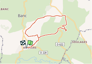


9 km | 11 km-effort


Gebruiker


Gratisgps-wandelapplicatie
 SityTrail
IGN / Geografische instituten
SityTrail World
De wereld gaat voor u open
Tocht Stappen van 9 km beschikbaar op Occitanië, Aveyron, Bertholène. Deze tocht wordt voorgesteld door Lacaze.
depart Anglais


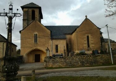
Stappen
Stappen
Stappen

Stappen

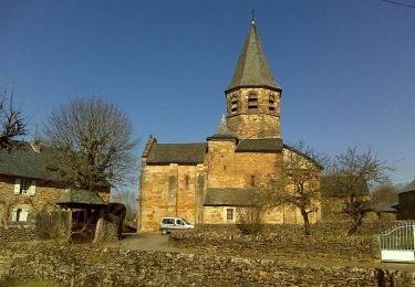
Mountainbike

Stappen

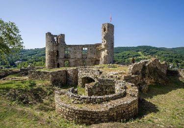
Mountainbike
Stappen
Mountainbike