Tre Ville, Provincia di Trento, Te voet: Top van de beste wandelroutes, trajecten, tochten en wandelingen

Tre Ville: Ontdek de beste tochten: 12 te voet en 10 stappen. Al deze tochten, trajecten, routes en outdoor activiteiten zijn beschikbaar in onze SityTrail-apps voor smartphones en tablets.


De beste trajecten (22)
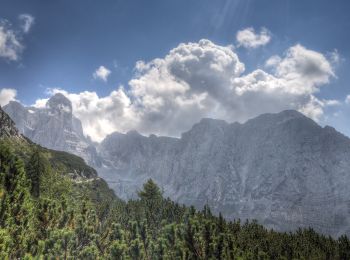
Tocht Te voet Tre Ville - Sentiero
Te voet 3.622
Km
PRO

Te voet

Gemakkelijk
Tre Ville, Trento-Zuid-Tirol, Provincia di Trento, Italy
3,6 km | 7,6 km-effort
1h 44min
381 m
62 m
Neen
SityTrail - itinéraires balisés pédestres

• Trail created by Società degli Alpinisti Tridentini. Website: http://www.sat.tn.it/
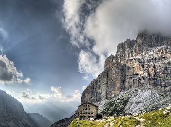
Tocht Te voet Tre Ville - Via ferrata alpinistica
Te voet 3.941
Km
PRO

Te voet

Gemakkelijk
Tre Ville, Trento-Zuid-Tirol, Provincia di Trento, Italy
3,9 km | 11,5 km-effort
2h 36min
718 m
116 m
Neen
SityTrail - itinéraires balisés pédestres

• Trail created by Società degli Alpinisti Tridentini. Website: http://www.sat.tn.it/
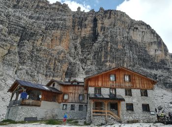
Tocht Te voet Tre Ville - Sentiero di Val Brenta - Photo
Te voet 9.365
Km
PRO

Te voet

Medium
Tre Ville, Trento-Zuid-Tirol, Provincia di Trento, Italy
9,4 km | 24 km-effort
5h 25min
1441 m
38 m
Neen
SityTrail - itinéraires balisés pédestres

• Trail created by Società degli Alpinisti Tridentini. Website: http://www.sat.tn.it/
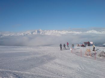
Tocht Te voet Tre Ville - Sentero della Corna Rosa - Photo
Te voet 4.938
Km
PRO

Te voet

Gemakkelijk
Tre Ville, Trento-Zuid-Tirol, Provincia di Trento, Italy
4,9 km | 12,3 km-effort
2h 47min
731 m
5 m
Neen
SityTrail - itinéraires balisés pédestres

• Trail created by Società degli Alpinisti Tridentini. Website: http://www.sat.tn.it/
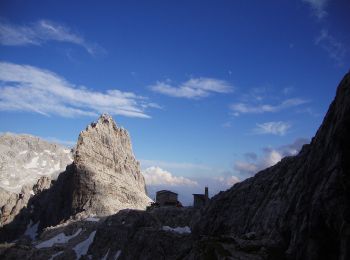
Tocht Te voet Tre Ville - Via Ferrata
Te voet 6.239
Km
PRO

Te voet

Gemakkelijk
Tre Ville, Trento-Zuid-Tirol, Provincia di Trento, Italy
6,2 km | 13,8 km-effort
3h 8min
607 m
451 m
Neen
SityTrail - itinéraires balisés pédestres

• Trail created by Società degli Alpinisti Tridentini. Website: http://www.sat.tn.it/
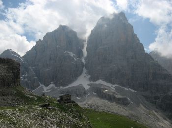
Tocht Te voet Tre Ville - Sentiero attrezzato
Te voet 3.491
Km
PRO

Te voet

Gemakkelijk
Tre Ville, Trento-Zuid-Tirol, Provincia di Trento, Italy
3,5 km | 5,7 km-effort
1h 17min
122 m
282 m
Neen
SityTrail - itinéraires balisés pédestres

• Trail created by Società degli Alpinisti Tridentini. Website: http://www.sat.tn.it/
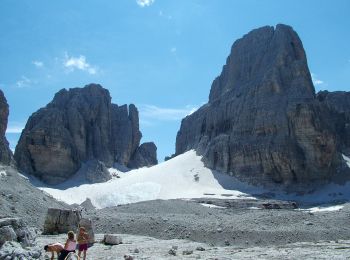
Tocht Te voet Tre Ville - Via ferrata S.O.S.A.T. - Photo
Te voet 3.515
Km
PRO

Te voet

Gemakkelijk
Tre Ville, Trento-Zuid-Tirol, Provincia di Trento, Italy
3,5 km | 6,7 km-effort
1h 31min
213 m
322 m
Neen
SityTrail - itinéraires balisés pédestres

• Trail created by Società degli Alpinisti Tridentini. Website: http://www.sat.tn.it/
Tocht Te voet Tre Ville - IT-O301 - Photo
Te voet 11.371
Km
PRO

Te voet

Gemakkelijk
Tre Ville, Trento-Zuid-Tirol, Provincia di Trento, Italy
11,4 km | 18,3 km-effort
4h 9min
172 m
1558 m
Neen
SityTrail - itinéraires balisés pédestres

• Trail created by Società degli Alpinisti Tridentini. Website: http://www.sat.tn.it/
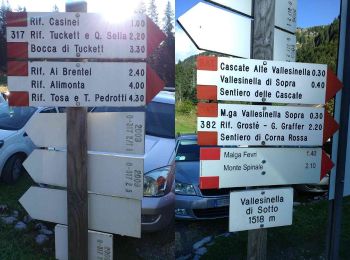
Tocht Te voet Tre Ville - IT-O317 - Photo
Te voet 4.122
Km
PRO

Te voet

Gemakkelijk
Tre Ville, Trento-Zuid-Tirol, Provincia di Trento, Italy
4,1 km | 6,5 km-effort
1h 28min
1 m
716 m
Neen
SityTrail - itinéraires balisés pédestres

• Trail created by Società degli Alpinisti Tridentini. Website: http://www.sat.tn.it/
Tocht Te voet Tre Ville - IT-O316 - Photo
Te voet 4.002
Km
PRO

Te voet

Gemakkelijk
Tre Ville, Trento-Zuid-Tirol, Provincia di Trento, Italy
4 km | 7,1 km-effort
1h 36min
279 m
85 m
Neen
SityTrail - itinéraires balisés pédestres

• Trail created by Società degli Alpinisti Tridentini. Website: http://www.sat.tn.it/
Tocht Te voet Tre Ville - IT-O334 - Photo
Te voet 6.896
Km
PRO

Te voet

Gemakkelijk
Tre Ville, Trento-Zuid-Tirol, Provincia di Trento, Italy
6,9 km | 19,8 km-effort
4h 29min
948 m
1027 m
Neen
SityTrail - itinéraires balisés pédestres

• Trail created by Società degli Alpinisti Tridentini. Website: http://www.sat.tn.it/
Tocht Stappen Tre Ville - 2017-09-05 Réf. Graffer-Groste-ref.Allimonta - Photo
Stappen 10.516
Km

Stappen

Zeer moeilijk
Tre Ville, Trento-Zuid-Tirol, Provincia di Trento, Italy
10,5 km | 25 km-effort
5h 21min
1183 m
855 m
Neen
meunier.ph.

• Parcours de Via Ferrata demandant un équipement spécifique et une certaine maîtrise de la haute montagne. Départ du...

Tocht Te voet Tre Ville - IT-O356A - Photo
Te voet 4.317
Km
PRO

Te voet

Gemakkelijk
Tre Ville, Trento-Zuid-Tirol, Provincia di Trento, Italy
4,3 km | 6,1 km-effort
1h 23min
77 m
314 m
Neen
SityTrail - itinéraires balisés pédestres

• Trail created by Società degli Alpinisti Tridentini. Website: http://www.sat.tn.it/

Tocht Stappen Tre Ville - Graffer - Tre Sassi - Via Gustavo VIDI -  Graffer  - Photo
Stappen 12.286
Km

Stappen

Moeilijk
Tre Ville, Trento-Zuid-Tirol, Provincia di Trento, Italy
12,3 km | 24 km-effort
4h 50min
904 m
904 m
Ja
GAPIAN43

Tocht Stappen Tre Ville - Brenta J7 - Vallesinella - Photo
Stappen 11.48
Km

Stappen

Zeer moeilijk
Tre Ville, Trento-Zuid-Tirol, Provincia di Trento, Italy
11,5 km | 21 km-effort
4h 40min
495 m
1233 m
Neen
jcolonnadelega

Tocht Stappen Tre Ville - Brenta J6 - Refuge Tuckett - Photo
Stappen 11.435
Km

Stappen

Zeer moeilijk
Tre Ville, Trento-Zuid-Tirol, Provincia di Trento, Italy
11,4 km | 22 km-effort
5h 2min
804 m
806 m
Ja
jcolonnadelega

Tocht Stappen Tre Ville - Brenta J5 - Refuge Tuckett - Photo
Stappen 6.498
Km

Stappen

Moeilijk
Tre Ville, Trento-Zuid-Tirol, Provincia di Trento, Italy
6,5 km | 15,6 km-effort
3h 32min
597 m
934 m
Neen
jcolonnadelega

Tocht Stappen Tre Ville - Brenta J2 - Refuge XII Apostoli - Photo
Stappen 6.763
Km

Stappen

Moeilijk
Tre Ville, Trento-Zuid-Tirol, Provincia di Trento, Italy
6,8 km | 15,5 km-effort
4h 58min
734 m
424 m
Neen
jcolonnadelega

Tocht Stappen Tre Ville - Brenta J1 - Refuge Brentei - Photo
Stappen 7.749
Km

Stappen

Moeilijk
Tre Ville, Trento-Zuid-Tirol, Provincia di Trento, Italy
7,7 km | 15,5 km-effort
2h 48min
745 m
95 m
Neen
jcolonnadelega

Tocht Stappen Tre Ville - Dolo 2019 - J4 - Graffer - Bocca de Tuckett - Brentei - Photo
Stappen 11.682
Km

Stappen

Moeilijk
Tre Ville, Trento-Zuid-Tirol, Provincia di Trento, Italy
11,7 km | 23 km-effort
4h 29min
834 m
932 m
Neen
GAPIAN43

20 tochten weergegeven op 22

Gratisgps-wandelapplicatie

Logo SityTrail SityTrail

IGN / Geografische instituten

SityTrail uit de App Store downloaden SityTrail uit Google Play downloaden

Logo SityTrail SityTrail World

De wereld gaat voor u open

SityTrail uit de App Store downloaden SityTrail uit Google Play downloaden SityTrail op Huawei AppGallery downloaden

Activiteiten

Sluiten
Mijn abonnementen