


5,3 km | 6,6 km-effort
Luik: Ontdek de beste tochten: 20 wintersport, 6 langlaufen en 10 sneeuwschoenen. Al deze tochten, trajecten, routes en outdoor activiteiten zijn beschikbaar in onze SityTrail-apps voor smartphones en tablets.
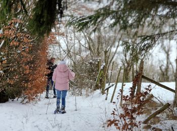
Sneeuwschoenen


Sneeuwschoenen
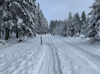
Langlaufen

Langlaufen
Langlaufen

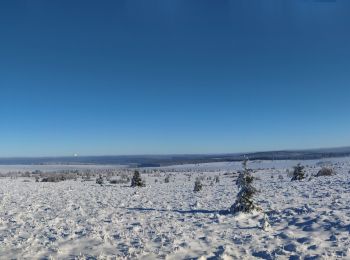
Wintersport
Wintersport
Wintersport
Wintersport
Wintersport
Wintersport
Wintersport
Wintersport
Wintersport
Wintersport
Wintersport
Wintersport
Wintersport
• Circuit des 11 km + de 5 km du Mont Spinette - en partant de la Fagne du Neûr Lowé
Wintersport
• Mix perso de l'ancien tracé du "Cerf" et du nouveau (2015. Tout ne sera donc peut-être pas tracé !
Wintersport
• Variante perso du circuit de 5 km. Tout ne sera donc pas tracé ! (cfr Fagnes Rasquin)
20 tochten weergegeven op 36
Gratisgps-wandelapplicatie
 SityTrail
IGN / Geografische instituten
SityTrail World
De wereld gaat voor u open