


16,7 km | 22 km-effort
Waimes: Ontdek de beste tochten: 708 te voet, 88 met de fiets of mountainbike en 7 te paard. Al deze tochten, trajecten, routes en outdoor activiteiten zijn beschikbaar in onze SityTrail-apps voor smartphones en tablets.

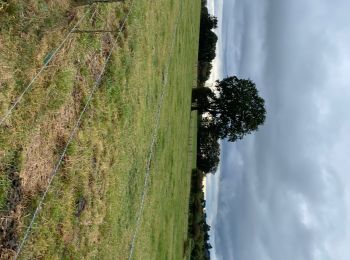
Stappen


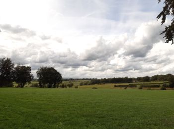
Stappen

Stappen
Stappen

Stappen
Stappen

Stappen
Stappen
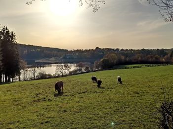
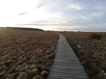
• Hier is een afwisselende wandeling met een lengte van 10km. Het combineert twee toeristische trekpleisters, Fagne Wal...

Stappen

Stappen

Stappen
Stappen
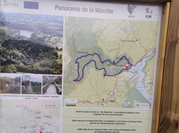
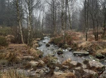
• Deze mooie wandeling van 10km (2,30 uur) doorkruist Bosfagne op caillebotis, gaat stroomopwaarts langs de Roer, de Wa...
Stappen
Stappen

Stappen
Fiets
Stappen
Stappen
Stappen
Wegfiets
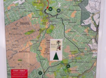
20 tochten weergegeven op 823
Gratisgps-wandelapplicatie
 SityTrail
IGN / Geografische instituten
SityTrail World
De wereld gaat voor u open