


4,1 km | 5,3 km-effort
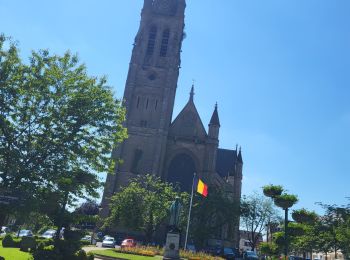
Aarlen: Ontdek de beste tochten: 170 te voet, 30 met de fiets of mountainbike en 7 te paard. Al deze tochten, trajecten, routes en outdoor activiteiten zijn beschikbaar in onze SityTrail-apps voor smartphones en tablets.
Stappen


Stappen
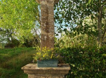
• Promenade facile très agréable

Stappen

Stappen
Stappen
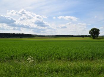
Te voet
• Trail created by Maison du Tourisme du Pays d’Arlon et Royal Office du Tourisme d’Arlon. Symbol: red rectangle
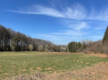
Te voet
• Trail created by Maison du Tourisme du Pays d'Arlon.
Te voet
• Trail created by Maison du Tourisme du Pays d'Arlon.
Te voet
• Trail created by Maison du Tourisme du Pays d'Arlon.
Te voet
• Trail created by Maison du Tourisme du Pays d'Arlon.
Te voet
• Trail created by Maison du Tourisme du Pays d’Arlon et Royal Office du Tourisme d’Arlon.
Te voet
• Trail created by Maison du Tourisme du Pays d’Arlon et Royal Office du Tourisme d’Arlon.
Stappen
Stappen
Te voet
Te voet
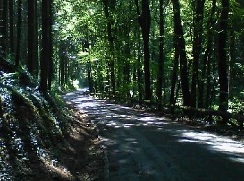
• Trail created by Pays d'Arlon. Op deze wandeling volg je een aangenaam wandelterrein, met afwisselend kreupelhout...

Te voet
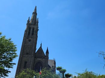
• Trail created by Pays d'Arlon. Een wandeling om volledig tot rust te komen. Vanaf de kerk van Bonnert, die intere...
Te voet
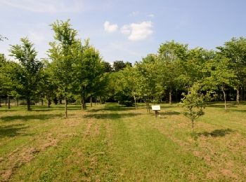
• Trail created by Pays d'Arlon. Een gemakkelijke en aangename route, zelfs met de kinderwagen. Je wandelt door pla...
Te voet
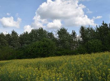
• Trail created by Pays d'Arlon. Dit wandelpad loopt rond het hoogste punt van zuidelijk België: de Hirtzenberg (46...

Te voet
• Trail created by Pays d'Arlon. Er zijn 3 wandelingen mogelijk rond de site van Clairefontaine. Deze wandeling...
20 tochten weergegeven op 216
Gratisgps-wandelapplicatie
 SityTrail
IGN / Geografische instituten
SityTrail World
De wereld gaat voor u open