


11,7 km | 13,9 km-effort
Bastenaken: Ontdek de beste tochten: 208 te voet, 61 met de fiets of mountainbike en 29 te paard. Al deze tochten, trajecten, routes en outdoor activiteiten zijn beschikbaar in onze SityTrail-apps voor smartphones en tablets.

Stappen


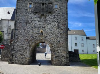
Te voet
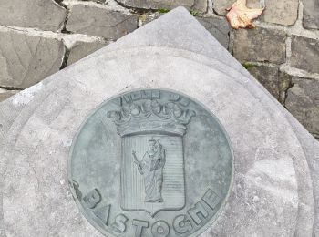
• Trail created by Syndicat d'Initiative Bastogne. Symbol: Rectangle vert

Te voet
• Trail created by Syndicat d'Iniative de Bastogne. Symbol: Losange vert
Stappen
Stappen
Stappen

Stappen
Stappen
Stappen
Stappen
Stappen
Stappen
Stappen
Stappen

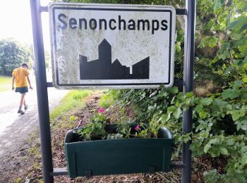
Te voet
• Trail created by Pays de Bastogne.
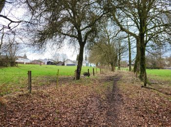
Te voet
• Trail created by Pays de Bastogne.

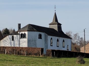
Te voet
• Trail created by Pays de Bastogne.
Te voet
• Trail created by Pays de Bastogne.
Te voet
• Trail created by Pays de Bastogne.
Te voet
• Trail created by Pays de Bastogne.
20 tochten weergegeven op 308
Gratisgps-wandelapplicatie
 SityTrail
IGN / Geografische instituten
SityTrail World
De wereld gaat voor u open