


8,4 km | 10,7 km-effort
Sint-Agatha-Rode: Ontdek de beste tochten: 25 te voet en 1 met de fiets of mountainbike. Al deze tochten, trajecten, routes en outdoor activiteiten zijn beschikbaar in onze SityTrail-apps voor smartphones en tablets.
Stappen


Stappen
Stappen

Stappen
Stappen
Stappen

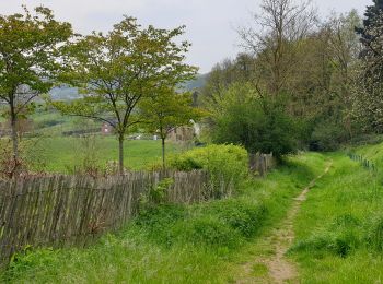
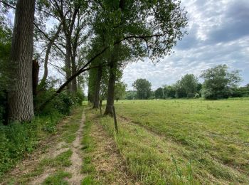
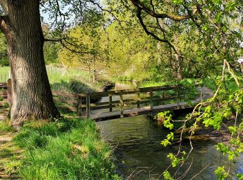
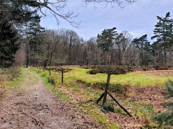
Te voet
• Trail created by vzw Toerisme Vlaams-Brabant.. Symbol: Zeskantige plaatjes met rode tekst
Stappen
Stappen
Noords wandelen
Stappen
Stappen
• Velo
Stappen
• More information on GPStracks.nl : http://www.gpstracks.nl
Stappen
•

 11.658
sport
Stappen
Stappen
Stappen
Stappen
Stappen
20 tochten weergegeven op 28
Gratisgps-wandelapplicatie
 SityTrail
IGN / Geografische instituten
SityTrail World
De wereld gaat voor u open