


8,1 km | 10 km-effort
Oerlinghausen: Ontdek de beste tochten: 4 te voet. Al deze tochten, trajecten, routes en outdoor activiteiten zijn beschikbaar in onze SityTrail-apps voor smartphones en tablets.
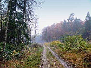
Te voet


• Symbol: Redhaired highland cattle looking straight at the viewer, on green background
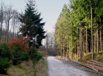
Te voet
• Trail created by Teutoburger Wald Verein. Symbol: Weißer Text A4 auf schwarzem Grund
Te voet

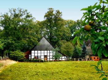
Te voet
4 tochten weergegeven op 4
Gratisgps-wandelapplicatie
 SityTrail
IGN / Geografische instituten
SityTrail World
De wereld gaat voor u open