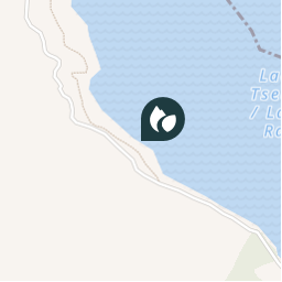

15,6 km | 26 km-effort

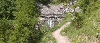
Stappen

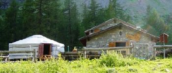
Gebruiker