Home
World
NEW
Premium
Winkel
tochten
Artikels
Help - ondersteuning
Français
English
Nederlands
Español
Italiano
Deutsch
Aansluiting
Home
World
Premium
Winkel
tochten
Artikels
Help - ondersteuning
SityTrail
>
POI's
>
GC1CX54
SityTrail
>
POI's
>
GC1CX54
GC1CX54
Beschrijving
La clé des champs by Vilcanota
Foto's
Ontdek GC1CX54 met de volgende tochten...
tracegps
Mont-Jovet depuis La Cour
Stappen
Moeilijk
(1)
Bozel, Auvergne-Rhône-Alpes, Savoie, France
13,5 km | 27 km-effort
6h 0min
Ja
tracegps
Gebruiker
©
OpenStreetMap
contributors
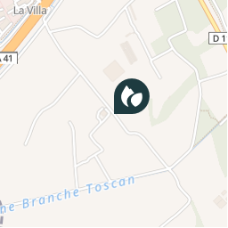
Plaatsbepaling
Land:
France
Regio :
Auvergne-Rhône-Alpes
Departement/Provincie :
Isère
Gemeente :
Montbonnot-Saint-Martin
Locatie:
Unknown
Plaatsbepaling
45.21325 / 5.8195
Datum van aanmaak :
2018-04-09 12:19:14.083
Laatste wijziging
2018-04-09 12:19:14.083
(0 Bericht)
Opmerkingen
Gelieve in te loggen om een commentaar of een beoordeling achter te laten
POI's in de buurt
tracegps
GC1CX54
MONTBONNOT-SAINT-MARTIN
tracegps
GC1CX54
MONTBONNOT-SAINT-MARTIN
tracegps
GC1CX54
MONTBONNOT-SAINT-MARTIN
tracegps
GC1CX54
MONTBONNOT-SAINT-MARTIN
tracegps
GC1CX54
MONTBONNOT-SAINT-MARTIN
tracegps
GC1CX54
MONTBONNOT-SAINT-MARTIN
tracegps
GC1CX54
MONTBONNOT-SAINT-MARTIN
tracegps
GC1CX54
MONTBONNOT-SAINT-MARTIN
Sluiten
Mijn abonnementen