POI Nivillac - Intersection - Photo

Intersection

Beschrijving

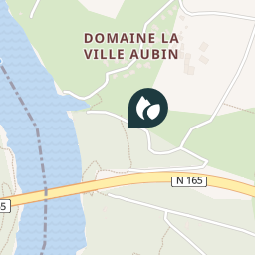
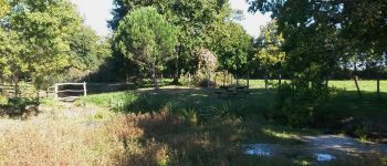
A ce niveau, le circuit de "la Ville-Aubin" retrouve le tracé du GR349 qui arrive du Pont du Morbihan à gauche et le circuit continue par le même cheminement jusqu'au village de Port es Gerbes.

Foto's

Ontdek Intersection met de volgende tochten...
Tocht Stappen Nivillac - Nivillac - Photo
Stappen
neoroll44

Stappen

Medium
Nivillac, Bretagne, Morbihan, France
10,8 km | 12,9 km-effort
2h 50min
Ja
 neoroll44
neoroll44

Gebruiker

© OpenStreetMap contributors

Plaatsbepaling

Land:
France
Regio :
Bretagne
Departement/Provincie :
Morbihan
Gemeente :
Nivillac
Locatie:
Unknown
Datum van aanmaak :
2018-04-12 01:22:13.023
Laatste wijziging
2018-04-12 01:22:13.023

(0 Bericht)


POI's in de buurt

POI Nivillac - Le Site de la Ville Aubin - Photo
neoroll44
POI Nivillac - Bords de Vilaine - Photo
neoroll44
POI Nivillac - Intersection - Photo
neoroll44
NIVILLAC 
POI Nivillac -  - Photo
Overflow56
NIVILLAC 
POI Nivillac - Séparation court / long - Photo
animateur
POI Férel - Barrage d'Arzal - Photo
neoroll44
POI Férel - Aire de pique-nique - Photo
neoroll44


Sluiten
Mijn abonnementen