


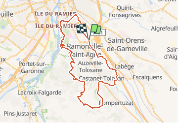

57 km | 69 km-effort


Gebruiker


Gratisgps-wandelapplicatie
 SityTrail
IGN / Geografische instituten
SityTrail World
De wereld gaat voor u open
Tocht Stappen van 36 km beschikbaar op Occitanië, Haute-Garonne, Toulouse. Deze tocht wordt voorgesteld door tracegps.
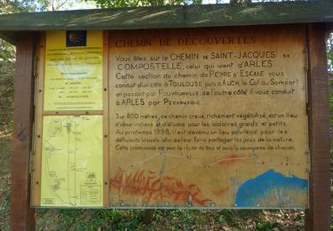
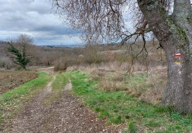
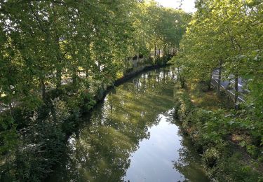
Un parcours classique au sud de Toulouse! On effectue une splendide traversée des coteaux en empruntant le GR®81 avant de suivre le canal du Midi pour le retour.

Hybride fiets

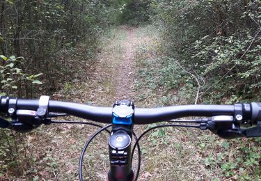
Stappen
Stappen
Stappen

Stappen
Stappen

Stappen

Hybride fiets
Stappen