


7,1 km | 9,3 km-effort

Gebruiker


Gratisgps-wandelapplicatie
 SityTrail
IGN / Geografische instituten
SityTrail World
De wereld gaat voor u open
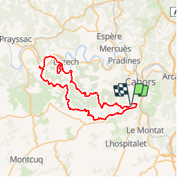
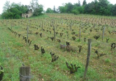
Tocht Mountainbike van 62 km beschikbaar op Occitanië, Lot, Cahors. Deze tocht wordt voorgesteld door tracegps.
14 Mai 2005 Je vous mets quelques commentaires en vrac piqués sur le forum de VV : XIII a dit : "Déja super beau temps et 380 participants ... quand on aime , on revient, ca se confirme pour cette 2nde manche de la RCO. Les organisateurs ravis bien sur et c'est merite car ils etaient nombreux et motives ... bref, y avait de l'ENVIE.... La suite est ICI


Stappen
Stappen
Stappen

Stappen

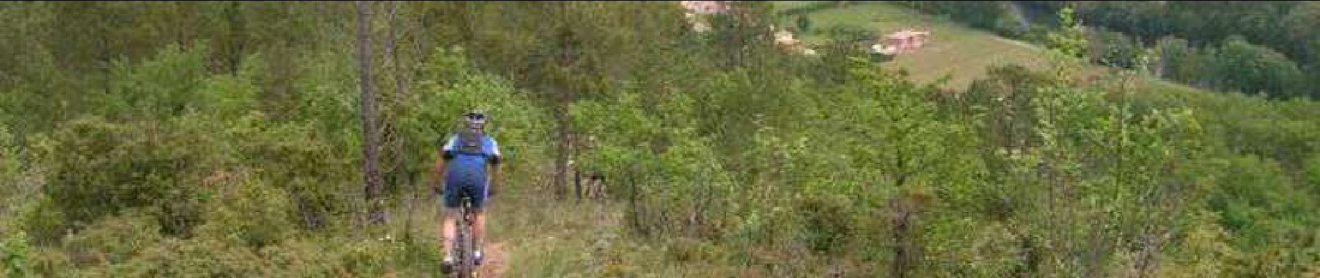
Mountainbike

Stappen

Lopen
Stappen
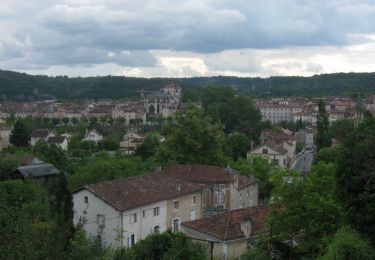
parcours fabuleux avec variété de chemins et singles.Superbes paysages. Mais il faut se le gagner!!!