


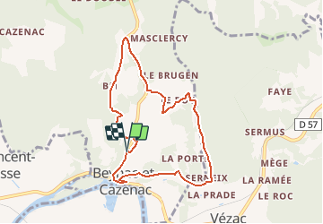

12,9 km | 17,3 km-effort

Gebruiker


Gratisgps-wandelapplicatie
 SityTrail
IGN / Geografische instituten
SityTrail World
De wereld gaat voor u open
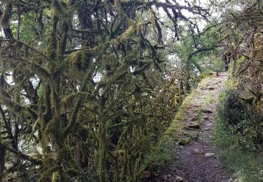
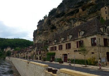
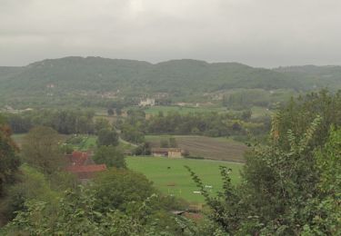
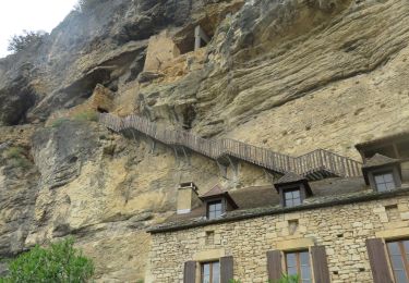
Tocht Stappen van 8,1 km beschikbaar op Nieuw-Aquitanië, Dordogne, Beynac-et-Cazenac. Deze tocht wordt voorgesteld door tracegps.
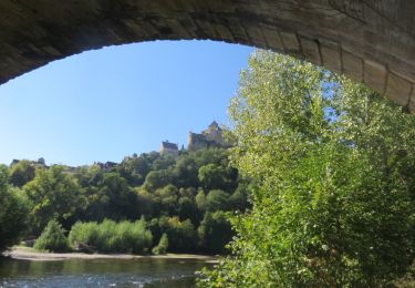
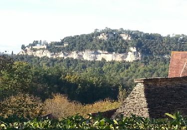
Partir du bas du bourg et montée au château par les ruelles, architecture remarquable (préférer le "hors saison") à cause de la foule estivale. D'autres infos sur le site Rando.eu
 - Photo 1")
Stappen
Stappen
Stappen

Stappen
Motor
Stappen
Stappen

Stappen
Stappen