


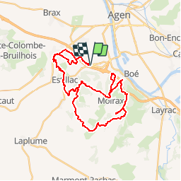


15,2 km | 22 km-effort

Gebruiker


Gratisgps-wandelapplicatie
 SityTrail
IGN / Geografische instituten
SityTrail World
De wereld gaat voor u open
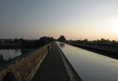
Tocht Mountainbike van 42 km beschikbaar op Nieuw-Aquitanië, Lot-et-Garonne, Estillac. Deze tocht wordt voorgesteld door tracegps.
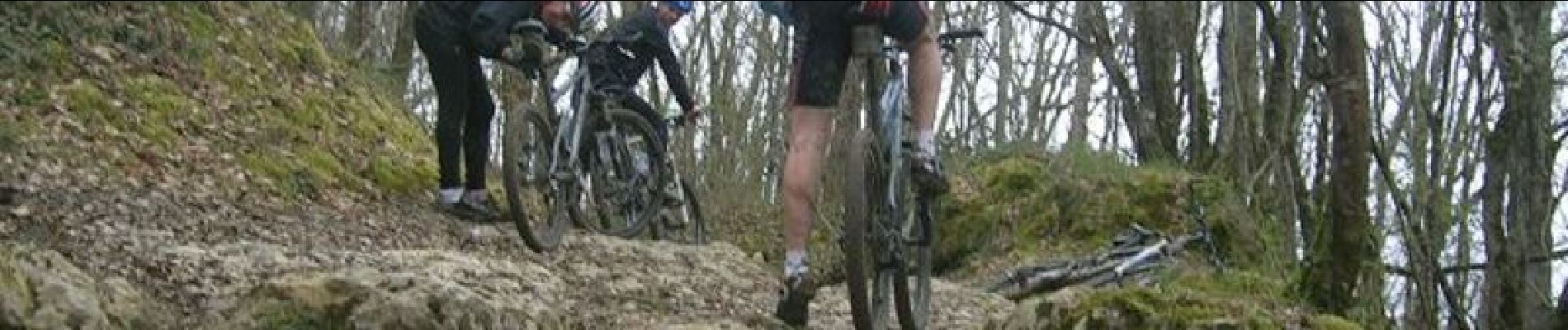
Le départ du circuit se fait au niveau du rond de l'Agropole. Le circuit est fait de beaucoup de pierres, racines, beaucoup de montées et descentes techniques, c'est du pur bonheur! En plus, pour ceux qui veulent essayer des rampes vous en trouverez sur le circuit mais c'est en cours de construction, et ça devrait le faire !!!!!!!


Stappen
Fietstoerisme

Mountainbike

Stappen

Stappen

Paard

Mountainbike
Stappen
Stappen