


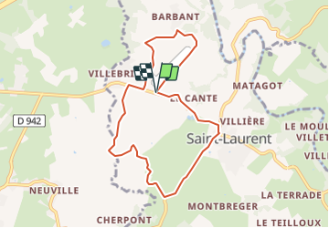

8,9 km | 10,7 km-effort

Gebruiker


Gratisgps-wandelapplicatie
 SityTrail
IGN / Geografische instituten
SityTrail World
De wereld gaat voor u open
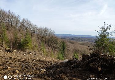
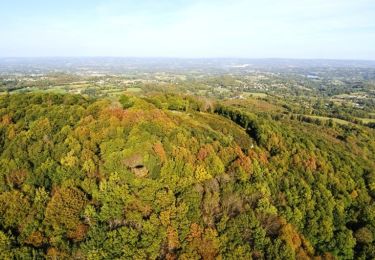
Tocht Mountainbike van 7,9 km beschikbaar op Nieuw-Aquitanië, Creuse, Saint-Laurent. Deze tocht wordt voorgesteld door tracegps.
Espace VTT FFC des Monts de Guéret. Circuit n° 11 labellisé par la Fédération Française de Cyclisme. Vous trouverez en vente à l’office de tourisme des Monts de Guéret des fiches de randonnées VTT réunissant plusieurs circuits par fiche, au prix de 1 € la fiche. (6 € les 28 circuits) Voir la Carte Interactive des Monts de Guéret.

Stappen
Stappen
Noords wandelen
Stappen

Stappen

Te voet
Noords wandelen
Mountainbike
Mountainbike