


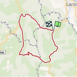


7,6 km | 8,6 km-effort

Gebruiker


Gratisgps-wandelapplicatie
 SityTrail
IGN / Geografische instituten
SityTrail World
De wereld gaat voor u open
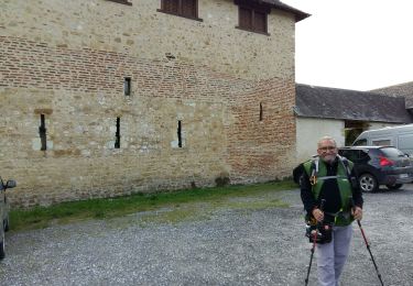
Tocht Stappen van 7,6 km beschikbaar op Nieuw-Aquitanië, Pyrénées-Atlantiques, Saint-Faust. Deze tocht wordt voorgesteld door tracegps.
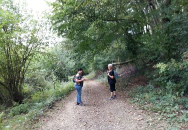
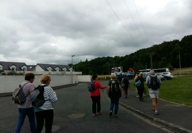
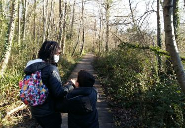
Petite balade facile avec un assemblage de parcours dans les bois, puis dans un vallon isolé avant de terminer en beauté sur une crête offrant une vue admirable des Pyrénées depuis le vignoble des coteaux jurançonnais.


Te voet

Stappen
Stappen
Stappen
Stappen
Stappen
Stappen
Te voet
Stappen
trop de routes
bien les chemins a pied ou en velo