


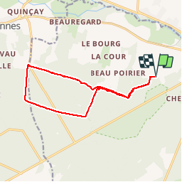

15,1 km | 17,6 km-effort


Gebruiker


Gratisgps-wandelapplicatie
 SityTrail
IGN / Geografische instituten
SityTrail World
De wereld gaat voor u open
Tocht Stappen van 13,5 km beschikbaar op Centre-Val de Loire, Indre-et-Loire, Cheillé. Deze tocht wordt voorgesteld door dporcher.
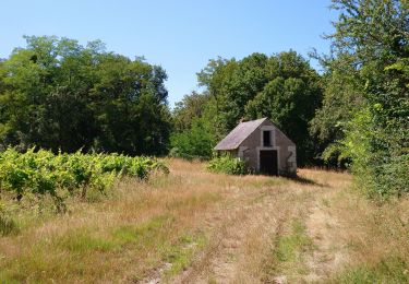
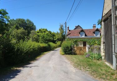
Une des nombreuses possibilités. il suffit de suivre son instinct. Les routes, sentiers, layons ... sont innombrables!

Stappen

Stappen

Stappen
Stappen

Stappen

Fiets
Stappen

Stappen

Stappen