


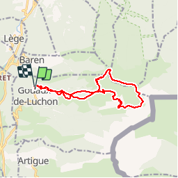

12,1 km | 24 km-effort


Gebruiker


Gratisgps-wandelapplicatie
 SityTrail
IGN / Geografische instituten
SityTrail World
De wereld gaat voor u open
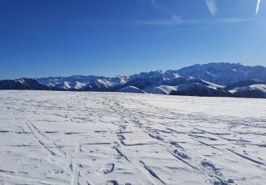
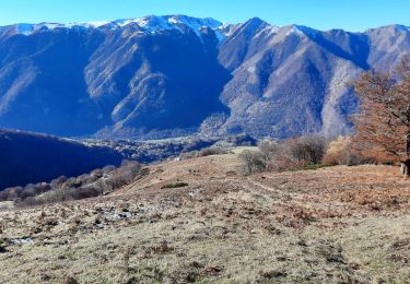
Tocht Stappen van 14,1 km beschikbaar op Occitanië, Haute-Garonne, Gouaux-de-Luchon. Deze tocht wordt voorgesteld door tracegps.
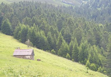
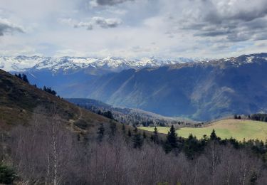
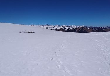
Montée régulière sur chemin- Descente sur crête. Un passage rocheux, sans difficulté, qu'on peut contourner aisément.

Stappen

Stappen

Stappen
Stappen
Stappen
Stappen

Te voet
Stappen
Stappen