


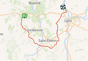


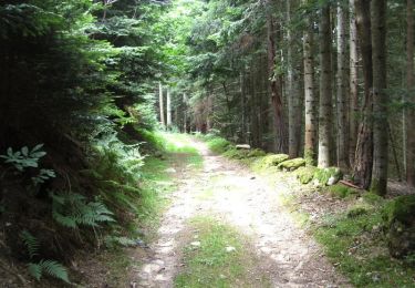
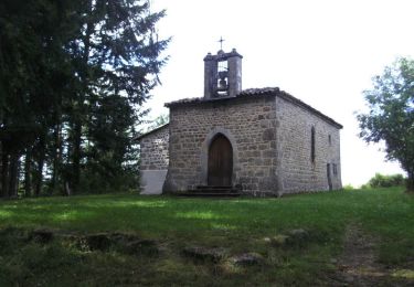
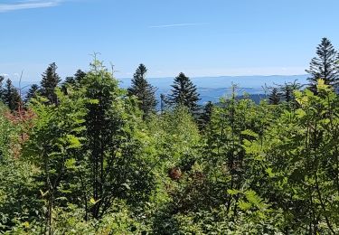
27 km | 38 km-effort


Gebruiker


Gratisgps-wandelapplicatie
 SityTrail
IGN / Geografische instituten
SityTrail World
De wereld gaat voor u open
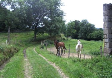
Tocht Paard van 216 km beschikbaar op Auvergne-Rhône-Alpes, Loire, Chalmazel-Jeansagnière. Deze tocht wordt voorgesteld door ophness.

Paard
Paard
Stappen
Stappen
Mountainbike
Mountainbike
Mountainbike
Mountainbike
Stappen