


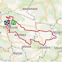

30 km | 43 km-effort


Gebruiker


Gratisgps-wandelapplicatie
 SityTrail
IGN / Geografische instituten
SityTrail World
De wereld gaat voor u open
Tocht Stappen van 20 km beschikbaar op Occitanië, Ariège, Tourtouse. Deze tocht wordt voorgesteld door eric09.
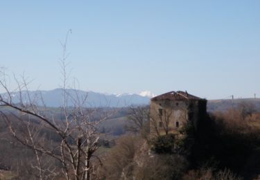
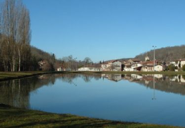
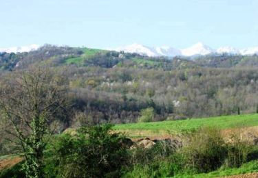
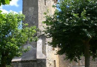
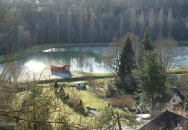
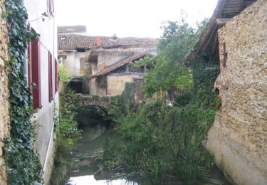
Jolie boucle pour découvrir Tourtouse et Lasserre avec des vues magnifique sur les montagnes ariègeoises.
Mountainbike
Mountainbike
Stappen
Mountainbike
Mountainbike
Mountainbike

Mountainbike
Stappen

Te voet