


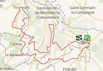

16,3 km | 17,4 km-effort


Gebruiker


Gratisgps-wandelapplicatie
 SityTrail
IGN / Geografische instituten
SityTrail World
De wereld gaat voor u open
Tocht Mountainbike van 33 km beschikbaar op Normandië, Calvados, Orbec. Deze tocht wordt voorgesteld door tracegps.
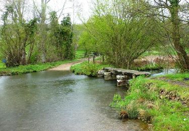
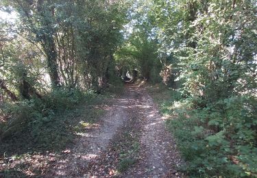
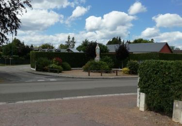
Départ : Place de la Mairie Au travers des traces GPS que je mets en ligne, vous revivrez les parcours VTT qui nous sont proposés le dimanche matin par les différents clubs de notre région. Ces parcours vous emmènerons sur des chemins plus ludiques et techniques les uns que les autres. Un vrai régal pour les VTTistes que nous sommes...
Fiets
Stappen
Stappen

Stappen
Stappen

Stappen

Stappen
Stappen
Stappen