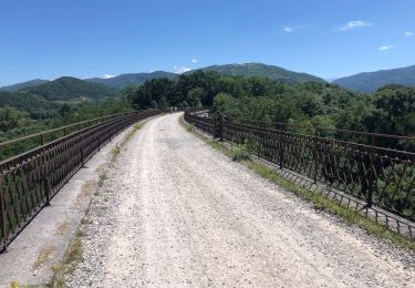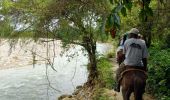

Dalou - Pamiers

tracegps
Gebruiker

Lengte
23 km

Max. hoogte
508 m

Positief hoogteverschil
239 m

Km-Effort
27 km

Min. hoogte
283 m

Negatief hoogteverschil
319 m
Boucle
Neen
Datum van aanmaak :
2014-12-10 00:00:00.0
Laatste wijziging :
2014-12-10 00:00:00.0
2h00
Moeilijkheid : Medium

Gratisgps-wandelapplicatie
Over ons
Tocht Paard van 23 km beschikbaar op Occitanië, Ariège, Dalou. Deze tocht wordt voorgesteld door tracegps.
Beschrijving
Première étape de la boucle du Plantaurel. D’autres infos ICI. Balade proposée par le Bureau des Guides Équestres Transpyrénéens
Plaatsbepaling
Land:
France
Regio :
Occitanië
Departement/Provincie :
Ariège
Gemeente :
Dalou
Locatie:
Unknown
Vertrek:(Dec)
Vertrek:(UTM)
389166 ; 4765658 (31T) N.
Opmerkingen
Wandeltochten in de omgeving

Foix castelnau


Hybride fiets
Gemakkelijk
Vernajoul,
Occitanië,
Ariège,
France

50 km | 60 km-effort
2h 47min
Ja

jcb09


Stappen
Heel gemakkelijk
Vernajoul,
Occitanië,
Ariège,
France

7,3 km | 9,1 km-effort
2h 3min
Ja


Vtt bosses du Plantaurel


Mountainbike
Moeilijk
Verniolle,
Occitanië,
Ariège,
France

47 km | 60 km-effort
3h 55min
Ja

Verniolle Malléon Tour du Crieu


Mountainbike
Medium
Verniolle,
Occitanië,
Ariège,
France

37 km | 43 km-effort
2h 36min
Ja

Bosse du Plantaurel FFC VTT Circuit n° 7


Mountainbike
Medium
(1)
Saint-Félix-de-Rieutord,
Occitanië,
Ariège,
France

24 km | 28 km-effort
2h 30min
Ja

boucle coussa


Lopen
Heel gemakkelijk
Coussa,
Occitanië,
Ariège,
France

8,4 km | 10,7 km-effort
1h 1min
Ja

09_Saint Jean des Verges


Stappen
Medium
Loubières,
Occitanië,
Ariège,
France

22 km | 28 km-effort
5h 55min
Ja


 SityTrail


