
Chemin de St Jacques - Rioutaillol - Mondely

tracegps
Gebruiker

Lengte
4,6 km

Max. hoogte
519 m

Positief hoogteverschil
189 m

Km-Effort
6,6 km

Min. hoogte
377 m

Negatief hoogteverschil
60 m
Boucle
Neen
Datum van aanmaak :
2014-12-10 00:00:00.0
Laatste wijziging :
2014-12-10 00:00:00.0
30m
Moeilijkheid : Medium

Gratisgps-wandelapplicatie
Over ons
Tocht Paard van 4,6 km beschikbaar op Occitanië, Ariège, Gabre. Deze tocht wordt voorgesteld door tracegps.
Beschrijving
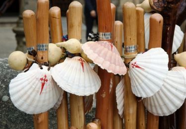
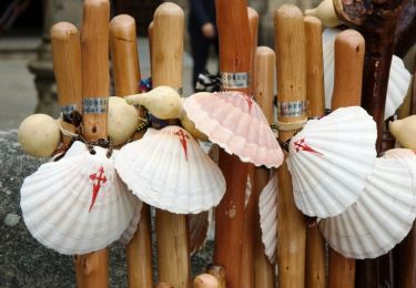
Cinquième étape des Chemins de St Jacques. D’autres infos sur Les Chemins de Saint-Jacques de Compostelle . Balade proposée par le Bureau des Guides Équestres Transpyrénéens
Plaatsbepaling
Land:
France
Regio :
Occitanië
Departement/Provincie :
Ariège
Gemeente :
Gabre
Locatie:
Unknown
Vertrek:(Dec)
Vertrek:(UTM)
372485 ; 4769099 (31T) N.
Opmerkingen
Wandeltochten in de omgeving

Unjat, Pelechou,Unjat


Te voet
Heel gemakkelijk
(2)
La Bastide-de-Sérou,
Occitanië,
Ariège,
France

4,4 km | 5,7 km-effort
Onbekend
Ja

Chemin de St Jacques - Mondely - Montjoie


Paard
Zeer moeilijk
La Bastide-de-Sérou,
Occitanië,
Ariège,
France

28 km | 39 km-effort
3h 15min
Neen

Chemin de St Jacques -Pailhès - Rioutaillol


Paard
Moeilijk
Pailhès,
Occitanië,
Ariège,
France

8,3 km | 12,3 km-effort
1h 0min
Neen

Chemin du Piémont Pyrénéen - du château de la Hille à la Grausse


Stappen
Moeilijk
Montégut-Plantaurel,
Occitanië,
Ariège,
France

26 km | 34 km-effort
6h 0min
Neen

Compos.Gabre-Maneyre 6


Stappen
Zeer moeilijk
Gabre,
Occitanië,
Ariège,
France

19,6 km | 26 km-effort
5h 56min
Neen

GR78 - Etape 5 Sabarthèe - Caoué de coume


Stappen
Medium
Montégut-Plantaurel,
Occitanië,
Ariège,
France

30 km | 41 km-effort
7h 32min
Neen

Pailhes-Le Mas


Stappen
Medium
Pailhès,
Occitanië,
Ariège,
France

15,3 km | 21 km-effort
4h 30min
Neen

f-frankrijk-sabarat-en-col-de-marrous


Fiets
Heel gemakkelijk
Sabarat,
Occitanië,
Ariège,
France

87 km | 111 km-effort
Onbekend
Ja

lac de Mondely au lac de feillet par terre rouge,Pastegras, Montouriol , Cour...


Stappen
Medium
Gabre,
Occitanië,
Ariège,
France

5,7 km | 8 km-effort
1h 49min
Ja


 SityTrail


