Tocht Stappen Homblières - Le parc d'Homblières - Photo

Le parc d'Homblières

 tracegps
tracegps

Gebruiker

© OpenStreetMap contributors
Lengte
Lengte
8,1 km
Max. hoogte
Max. hoogte
117 m
Positief hoogteverschil
85 m
Km-Effort
Km-Effort  
9,2 km
Min. hoogte
Min. hoogte
78 m
Negatief hoogteverschil
86 m
Boucle
Boucle
Ja
Datum van aanmaak :
2014-12-10 00:00:00.0
Laatste wijziging :
2014-12-10 00:00:00.0

(0 Bericht)

Stappen
Stappen
2h15
Moeilijkheid : Medium

Scan deze QR-code om de tocht te openen in de SityTrail-applicatie

Gratisgps-wandelapplicatie

Logo SityTrail SityTrail

IGN / Geografische instituten

SityTrail uit de App Store downloaden SityTrail uit Google Play downloaden

Logo SityTrail SityTrail World

De wereld gaat voor u open

SityTrail uit de App Store downloaden SityTrail uit Google Play downloaden SityTrail op Huawei AppGallery downloaden

Over ons

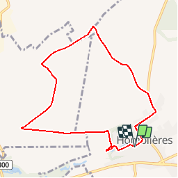
Tocht Stappen van 8,1 km beschikbaar op Hauts-de-France, Aisne, Homblières. Deze tocht wordt voorgesteld door tracegps.

Beschrijving

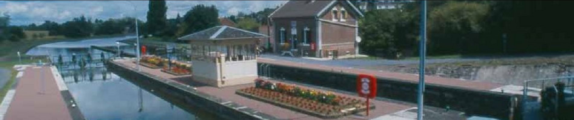
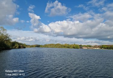
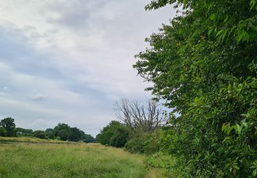
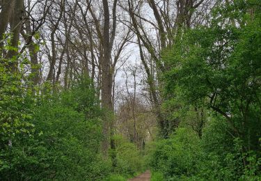
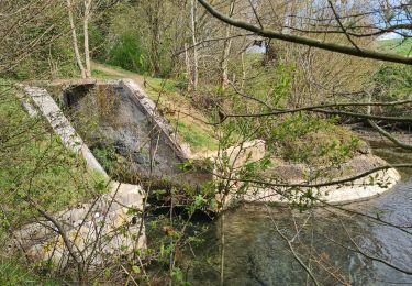
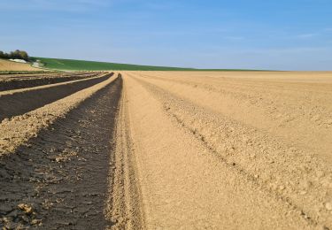
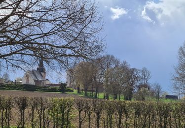
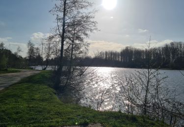
A l'est de Saint-Quentin, le village d'Homblières semble protéger son parc, autour duquel il s'est développé. Du parc au lac puis en sous-bois, cette balade sans souci traverse la vallée Brûlée avant de remonter vers le village où nous attend un nectar de fraise unique en son genre. Toutes les infos sont ICI

Hoogteprofiel

Foto's

Plaatsbepaling

Land:
France
Regio :
Hauts-de-France
Departement/Provincie :
Aisne
Gemeente :
Homblières
Locatie:
Unknown
Vertrek:(Dec)
Vertrek:(UTM)
526079 ; 5521919 (31U) N.

Wandeltochten in de omgeving

Tocht Mountainbike Mesnil-Saint-Laurent - mesnil-fresnoy le grand-montbrehain -lesdits  - Photo
Mountainbike
alainwald

Mountainbike

Gemakkelijk
Mesnil-Saint-Laurent, Hauts-de-France, Aisne, France
55 km | 62 km-effort
4h 35min
Ja
Tocht Mountainbike Mesnil-Saint-Laurent - parcours mesnil thenelles- beautor- Mennessis  - Photo
Mountainbike
alainwald

Mountainbike

Heel gemakkelijk
Mesnil-Saint-Laurent, Hauts-de-France, Aisne, France
63 km | 69 km-effort
3h 21min
Ja
Tocht Stappen Remaucourt - Le tilloy - les sources de la somme - Photo
Stappen
alainwald

Stappen

Medium
Remaucourt, Hauts-de-France, Aisne, France
17,4 km | 19,6 km-effort
3h 35min
Ja
Tocht Stappen Rouvroy - circuit rouvroy fonsomme croix fonsommes - Photo
Stappen
alainwald

Stappen

Gemakkelijk
Rouvroy, Hauts-de-France, Aisne, France
24 km | 27 km-effort
4h 33min
Ja
Tocht Stappen Homblières - homblières  Fonsomme  - Photo
Stappen
alainwald

Stappen

Gemakkelijk
Homblières, Hauts-de-France, Aisne, France
21 km | 24 km-effort
4h 13min
Ja
Tocht Stappen Fontaine-Notre-Dame - Fontaine-notre-Dame     -     Fonsomme     -    Fieulaine - Photo
Stappen
alainwald

Stappen

Gemakkelijk
Fontaine-Notre-Dame, Hauts-de-France, Aisne, France
17,2 km | 20 km-effort
3h 27min
Ja
Tocht Stappen Châtillon-sur-Oise - autour de chatillon sur oise  - Photo
Stappen
alainwald

Stappen

Heel gemakkelijk
Châtillon-sur-Oise, Hauts-de-France, Aisne, France
19,1 km | 21 km-effort
3h 56min
Ja
Tocht Stappen Saint-Quentin - Le marais d'Isle - Photo
Stappen

Stappen

Heel gemakkelijk
Saint-Quentin, Hauts-de-France, Aisne, France
5,4 km | 6 km-effort
Onbekend
Ja
Tocht Stappen Saint-Quentin - Parc d'isle - Photo
Stappen
JJDOLLE

Stappen

Heel gemakkelijk
Saint-Quentin, Hauts-de-France, Aisne, France
5,9 km | 6,5 km-effort
1h 40min
Ja


Sluiten
Mijn abonnementen