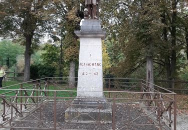
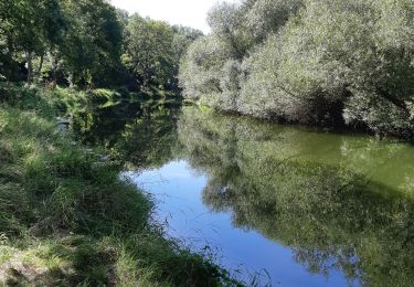
Tocht Stappen Dombasle-sur-Meurthe - Dombasle_5kms - Photo
 ZAMBAUX
ZAMBAUX

Gebruiker

© OpenStreetMap contributors
Lengte
Lengte
5,2 km
Max. hoogte
Max. hoogte
271 m
Positief hoogteverschil
79 m
Km-Effort
Km-Effort  
6,2 km
Min. hoogte
Min. hoogte
202 m
Negatief hoogteverschil
81 m
Boucle
Boucle
Ja
Datum van aanmaak :
2019-04-27 09:34:18.701
Laatste wijziging :
2020-10-12 08:46:13.028

(0 Bericht)

Stappen
Stappen
1h21
Moeilijkheid : Onbekend

Scan deze QR-code om de tocht te openen in de SityTrail-applicatie

Gratisgps-wandelapplicatie

Logo SityTrail SityTrail

IGN / Geografische instituten

SityTrail uit de App Store downloaden SityTrail uit Google Play downloaden

Logo SityTrail SityTrail World

De wereld gaat voor u open

SityTrail uit de App Store downloaden SityTrail uit Google Play downloaden SityTrail op Huawei AppGallery downloaden

Over ons

Tocht Stappen van 5,2 km beschikbaar op Grand Est, Meurthe-et-Moselle, Dombasle-sur-Meurthe. Deze tocht wordt voorgesteld door ZAMBAUX.

Hoogteprofiel

POI's

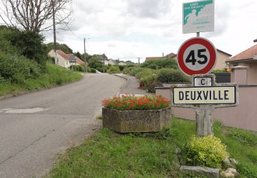
POI Dombasle-sur-Meurthe - À droite - Photo
ZAMBAUX
DOMBASLE-SUR-MEURTHE 
POI Dombasle-sur-Meurthe - À droite1 - Photo
ZAMBAUX
DOMBASLE-SUR-MEURTHE 
POI Dombasle-sur-Meurthe - À gauche - Photo
ZAMBAUX
DOMBASLE-SUR-MEURTHE 
POI Dombasle-sur-Meurthe - Le chemin vire à gauche - Photo
ZAMBAUX
DOMBASLE-SUR-MEURTHE 
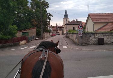
POI Dombasle-sur-Meurthe - Parking près de l'église - Photo
ZAMBAUX
DOMBASLE-SUR-MEURTHE 
POI Dombasle-sur-Meurthe - Parking près de l'Église1 - Photo
ZAMBAUX
DOMBASLE-SUR-MEURTHE 
POI Sommerviller - Suivre les anneaux Rouges - Photo
ZAMBAUX
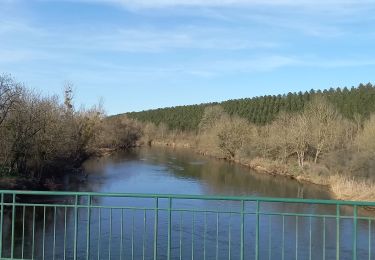
POI Sommerviller - Traverser la rivière - Photo
ZAMBAUX
SOMMERVILLER 

Plaatsbepaling

Land:
France
Regio :
Grand Est
Departement/Provincie :
Meurthe-et-Moselle
Gemeente :
Dombasle-sur-Meurthe
Locatie:
Unknown
Vertrek:(Dec)
Vertrek:(UTM)
304831 ; 5389385 (32U) N.

Wandeltochten in de omgeving

Tocht Te voet Crévic - Circuit de Naveau - Photo
Te voet
PRO

Te voet

Gemakkelijk
Crévic, Grand Est, Meurthe-et-Moselle, France
7,7 km | 8,6 km-effort
1h 56min
Ja
Tocht Elektrische fiets Rosières-aux-Salines - sortie vtt 21022023 rosière aux salines - Photo
Elektrische fiets
GUIDE
fabwin

Elektrische fiets

Moeilijk
Rosières-aux-Salines, Grand Est, Meurthe-et-Moselle, France
46 km | 53 km-effort
2h 6min
Ja
Tocht Stappen Rosières-aux-Salines - rosières aux salines - Photo
Stappen
JJG54

Stappen

Medium
Rosières-aux-Salines, Grand Est, Meurthe-et-Moselle, France
14,3 km | 16,6 km-effort
3h 9min
Ja
Tocht Huifkarwandeling Rosières-aux-Salines - Rosieres, route des vergers, tour de Nancy - Photo
Huifkarwandeling
agnesbernardi

Huifkarwandeling

Medium
Rosières-aux-Salines, Grand Est, Meurthe-et-Moselle, France
9,8 km | 11,7 km-effort
1h 43min
Neen
Tocht Stappen Dombasle-sur-Meurthe - essai_4km - Photo
Stappen
ZAMBAUX

Stappen

Gemakkelijk
Dombasle-sur-Meurthe, Grand Est, Meurthe-et-Moselle, France
4,5 km | 4,9 km-effort
1h 6min
Ja
Tocht Mountainbike Varangéville - randonnée vtt varangeville 20092015 - Photo
Mountainbike
GUIDE
fabwin

Mountainbike

Moeilijk
Varangéville, Grand Est, Meurthe-et-Moselle, France
25 km | 31 km-effort
2h 1min
Ja
Tocht Stappen Rosières-aux-Salines - Dombasle ZI des sables_7km - Photo
Stappen
ZAMBAUX

Stappen

Medium
Rosières-aux-Salines, Grand Est, Meurthe-et-Moselle, France
7,2 km | 8,1 km-effort
1h 50min
Ja
Tocht Te voet Dombasle-sur-Meurthe - ESSAI FORM N°1 4.9KMS - Photo
Te voet
Pierre et Martine

Te voet

Gemakkelijk
Dombasle-sur-Meurthe, Grand Est, Meurthe-et-Moselle, France
4,5 km | 4,9 km-effort
1h 6min
Ja
Tocht Lopen Varangéville - solvay arriere - Photo
Lopen
grandville

Lopen

Heel gemakkelijk
Varangéville, Grand Est, Meurthe-et-Moselle, France
3,3 km | 3,7 km-effort
28min
Neen


Sluiten
Mijn abonnementen