


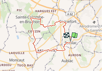


15,2 km | 22 km-effort

Gebruiker


Gratisgps-wandelapplicatie
 SityTrail
IGN / Geografische instituten
SityTrail World
De wereld gaat voor u open
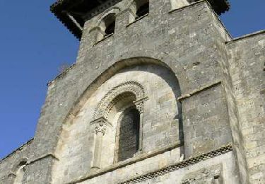
Tocht Mountainbike van 15,7 km beschikbaar op Nieuw-Aquitanië, Lot-et-Garonne, Estillac. Deze tocht wordt voorgesteld door tracegps.
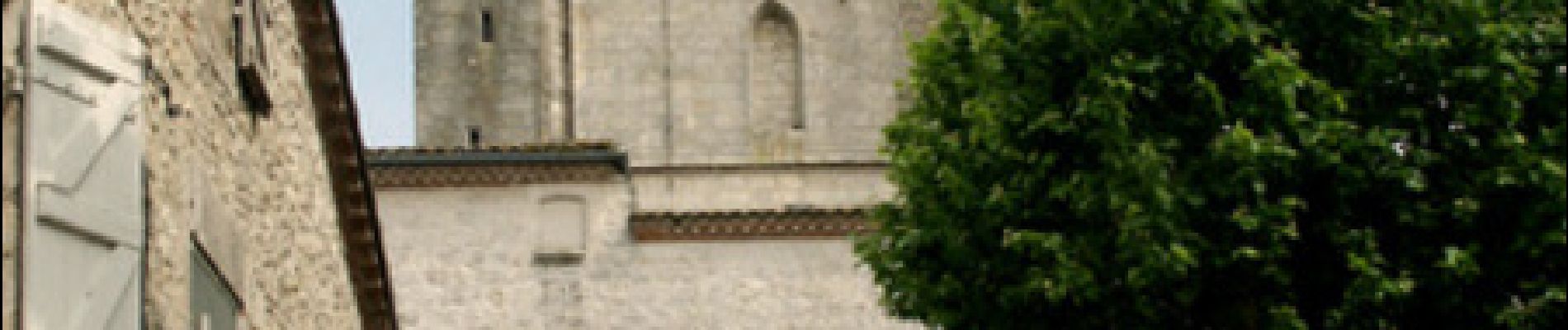
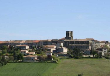
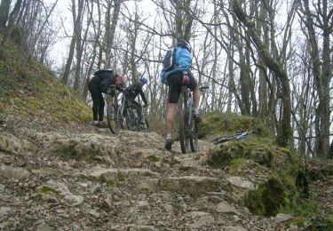
Estillac / Sainte Colombe / Roquefort C. C. du Canton de Laplume en Bruilhois Quatre hauts lieux du Bruilhois sont desservis par ce parcours exigeant, avec la perspective de nombreux points de vue, coulant des coteaux de Gascogne, au sud, à la vallée de la Garonne au nord. Téléchargez la fiche de cette randonnée sur le site du Tourisme du Lot et Garonne.


Stappen

Mountainbike

Stappen

Stappen
Stappen
Mountainbike

Paard

Mountainbike
Stappen