


17,3 km | 23 km-effort


Gebruiker


Gratisgps-wandelapplicatie
 SityTrail
IGN / Geografische instituten
SityTrail World
De wereld gaat voor u open
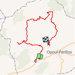
Tocht Stappen van 20 km beschikbaar op Occitanië, Pyrénées-Orientales, Opoul-Périllos. Deze tocht wordt voorgesteld door jcmartin.
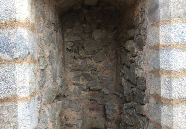
Départ des Gorges du Vivers, direction Vall Oriola puis village de Perellos et arrivée au parking du château d'Opoul où nous avons laissé une voiture. Pour rejoindre le point de départ à pied il faut rajouter 3 kms


Stappen

Stappen
Stappen
Stappen

Stappen
Stappen
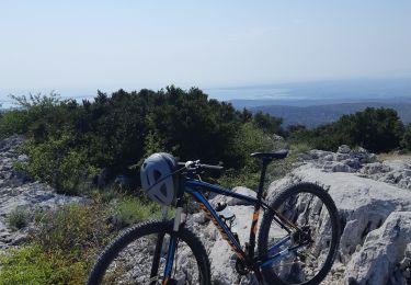
Mountainbike
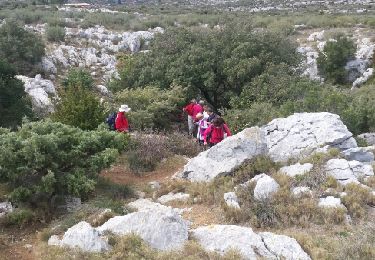
Stappen

Stappen