


155 km | 195 km-effort

Gebruiker


Gratisgps-wandelapplicatie
 SityTrail
IGN / Geografische instituten
SityTrail World
De wereld gaat voor u open
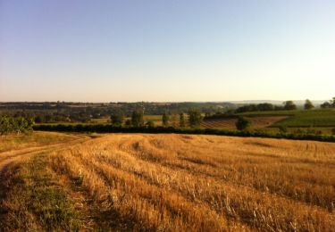
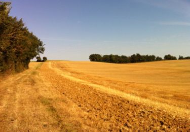
Tocht Stappen van 8,6 km beschikbaar op Occitanië, Gers, Fleurance. Deze tocht wordt voorgesteld door tracegps.
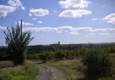
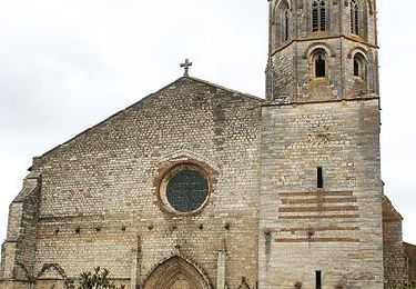
Quand on marchait sur les chemins… - Fleurance Départ de l’église de Lagarde (près du hameau des étoiles). A voir le Village de Ste Radegonde, la chapelle de St Lary… Circuit numérisé par la Communauté de Communes de la Lomagne Gersoise.

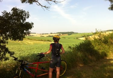
Mountainbike

Mountainbike
Mountainbike
Mountainbike
Mountainbike

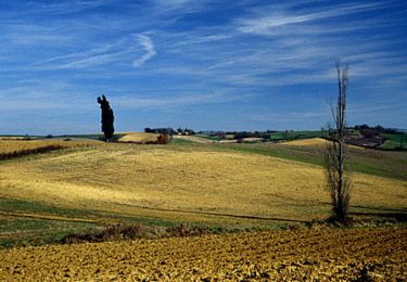
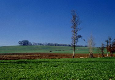
Stappen
Stappen
Stappen
Stappen