


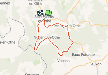

16,1 km | 19,8 km-effort

Gebruiker


Gratisgps-wandelapplicatie
 SityTrail
IGN / Geografische instituten
SityTrail World
De wereld gaat voor u open
Tocht Fiets van 26 km beschikbaar op Grand Est, Aube, Saint-Mards-en-Othe. Deze tocht wordt voorgesteld door tracegps.
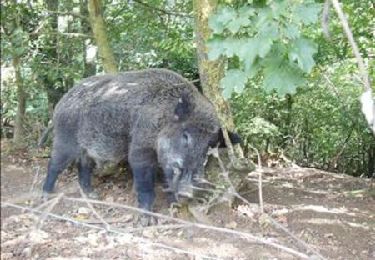
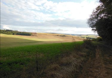
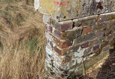
Circuit proposé par l'office de Tourisme du Pays d'Othe, vallée de la Vanne et le Cyclo Club Othéen. Départ place de la mairie de Saint-Mards-en-Othe. Le lavoir de Saint Mards en orthe date de 1845. Il est le plus imposant du département par ses dimensions. Il était prévu pour une soixantaine de personnes. Construit en briques provenant des fourneaux du Gaty, il était éclairé de 10 baies vitrées en plein cintre. Il était alimenté par la source Saint Bouin. Retrouvez le circuit a télécharger sur le site de l'office de tourisme du Pays d'Othe, vallée de la Vanne.


Stappen
Stappen
Stappen
Stappen

Fiets
Stappen
Stappen
Stappen
Stappen