


11,2 km | 14,8 km-effort


Gebruiker


Gratisgps-wandelapplicatie
 SityTrail
IGN / Geografische instituten
SityTrail World
De wereld gaat voor u open
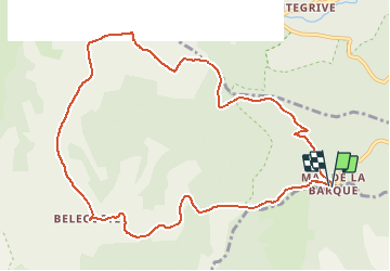
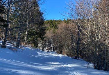
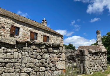
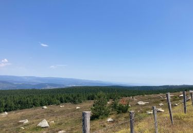
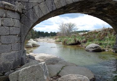
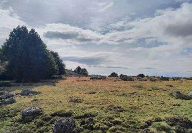
Tocht Stappen van 11,3 km beschikbaar op Occitanië, Lozère, Vialas. Deze tocht wordt voorgesteld door CAMBON.
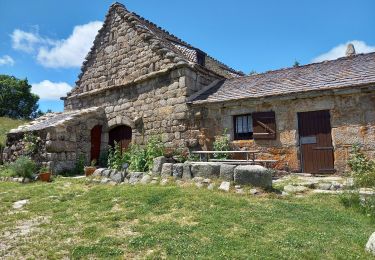
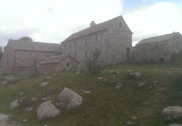
mas de la barque
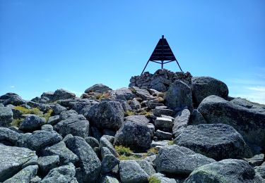
pic cassini
bellecoste
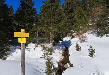
Stappen
Stappen
Stappen
Stappen
Stappen
Elektrische fiets
Te voet
Te voet
Stappen