


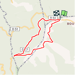

6,7 km | 9,1 km-effort


Gebruiker


Gratisgps-wandelapplicatie
 SityTrail
IGN / Geografische instituten
SityTrail World
De wereld gaat voor u open
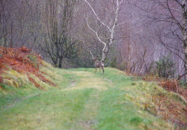
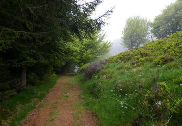
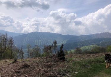
Tocht Mountainbike van 7,4 km beschikbaar op Occitanië, Ariège, Le Bosc. Deze tocht wordt voorgesteld door John09.
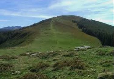
Col des Marrous / Col de Jouels / Col d'uscla
Stappen
Stappen

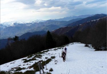
Wintersport
Stappen
Stappen
Paard

Paard
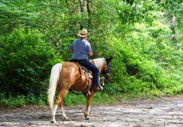
Paard
Stappen