4,5 km | 4,8 km-effort
33-haux-20120527
Gus64
Gebruiker
Lengte
32 km
Max. hoogte
106 m
Positief hoogteverschil
674 m
Km-Effort
41 km
Min. hoogte
10 m
Negatief hoogteverschil
670 m
Boucle
Ja
Datum van aanmaak :
2014-12-10 00:00:00.0
Laatste wijziging :
2014-12-10 00:00:00.0
3h00
Moeilijkheid : Moeilijk
Gratisgps-wandelapplicatie
Over ons
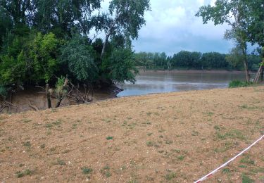
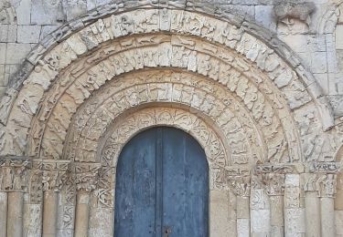
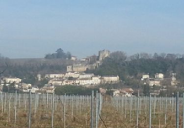
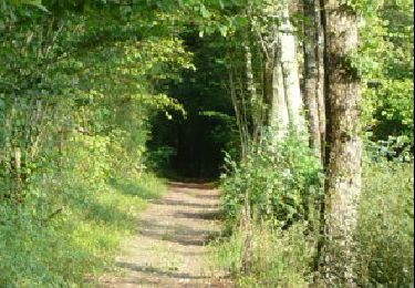
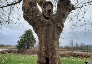
Tocht Mountainbike van 32 km beschikbaar op Nieuw-Aquitanië, Gironde, Haux. Deze tocht wordt voorgesteld door Gus64.
Beschrijving
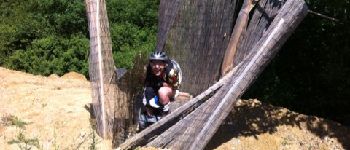
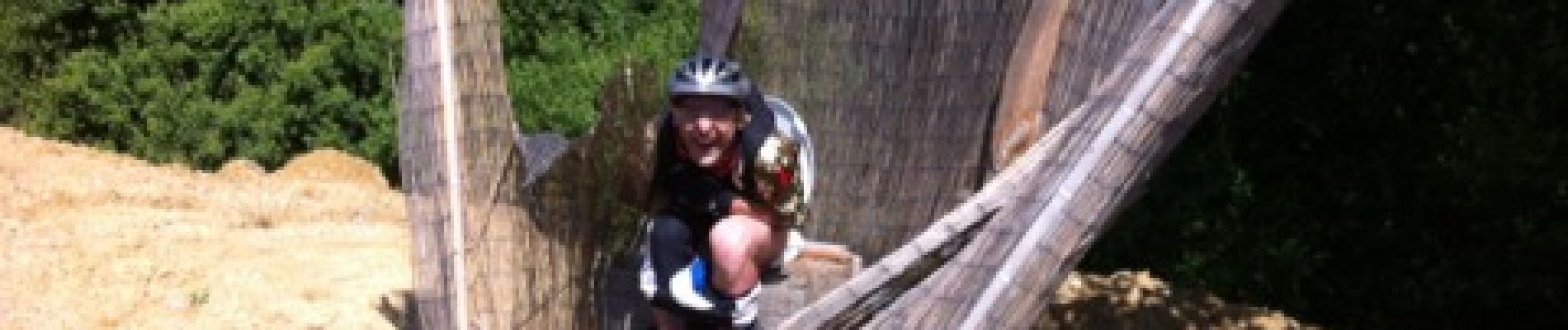
un concentré du top dans le secteur de Langoiran / Haux
Plaatsbepaling
Land:
France
Regio :
Nieuw-Aquitanië
Departement/Provincie :
Gironde
Gemeente :
Haux
Locatie:
Unknown
Vertrek:(Dec)
Vertrek:(UTM)
709006 ; 4956697 (30T) N.
Opmerkingen
Wandeltochten in de omgeving
langoiran
Stappen
Gemakkelijk
Le Tourne,
Nieuw-Aquitanië,
Gironde,
France
17,8 km | 24 km-effort
4h 12min
Neen
lestiac
Stappen
Heel gemakkelijk
Lestiac-sur-Garonne,
Nieuw-Aquitanië,
Gironde,
France
9,4 km | 11,3 km-effort
3h 2min
Ja
De Créon à Saint Genès de Lombaud
Mountainbike
Moeilijk
Créon,
Nieuw-Aquitanië,
Gironde,
France
24 km | 28 km-effort
2h 30min
Ja
languaran
Stappen
Heel gemakkelijk
Tabanac,
Nieuw-Aquitanië,
Gironde,
France
9,8 km | 12,1 km-effort
2h 54min
Ja
sauvé Majeure 10 km
Stappen
Heel gemakkelijk
(1)
La Sauve,
Nieuw-Aquitanië,
Gironde,
France
9,8 km | 11,5 km-effort
2h 35min
Neen
haux
Stappen
Heel gemakkelijk
Haux,
Nieuw-Aquitanië,
Gironde,
France
11,8 km | 15,3 km-effort
4h 1min
Ja
Lestiac V2
Stappen
Heel gemakkelijk
Lestiac-sur-Garonne,
Nieuw-Aquitanië,
Gironde,
France
18,2 km | 23 km-effort
5h 20min
Ja
rando creon Fred
Andere activiteiten
Moeilijk
Créon,
Nieuw-Aquitanië,
Gironde,
France
43 km | 52 km-effort
5h 8min
Ja