


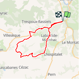


62 km | 81 km-effort


Gebruiker


Gratisgps-wandelapplicatie
 SityTrail
IGN / Geografische instituten
SityTrail World
De wereld gaat voor u open
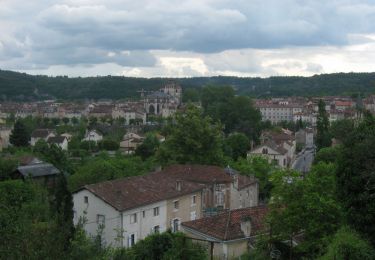
Tocht Mountainbike van 29 km beschikbaar op Occitanië, Lot, Cahors. Deze tocht wordt voorgesteld door clame.

Mountainbike

Stappen
Stappen
Stappen

Stappen

Mountainbike

Stappen
Lopen