


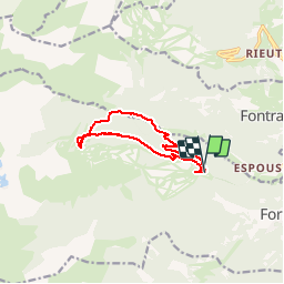


15,1 km | 24 km-effort


Gebruiker


Gratisgps-wandelapplicatie
 SityTrail
IGN / Geografische instituten
SityTrail World
De wereld gaat voor u open
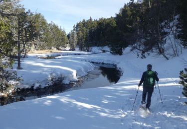
Tocht Sneeuwschoenen van 10,8 km beschikbaar op Occitanië, Pyrénées-Orientales, Formiguères. Deze tocht wordt voorgesteld door xav34830.
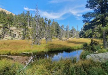
Ruta circular que comienza y acaba en el parking de la estación de esquí de Formigueres. Bastante agradable, excepto la subida de en medio, un poco dura por la pendiente

Stappen

Stappen
Stappen

Stappen
Sneeuwschoenen

Sneeuwschoenen
Sneeuwschoenen
Stappen
Stappen