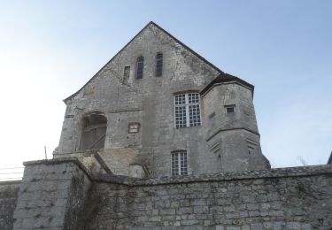
8,7 km | 9,3 km-effort
rond de france
sloopy
Gebruiker
Lengte
8,4 km
Max. hoogte
70 m
Positief hoogteverschil
88 m
Km-Effort
9,5 km
Min. hoogte
30 m
Negatief hoogteverschil
89 m
Boucle
Ja
Datum van aanmaak :
2014-12-10 00:00:00.0
Laatste wijziging :
2014-12-10 00:00:00.0
1h56
Moeilijkheid : Gemakkelijk
Gratisgps-wandelapplicatie
Over ons
Tocht Stappen van 8,4 km beschikbaar op Normandië, Eure, Pont-de-l'Arche. Deze tocht wordt voorgesteld door sloopy.
Beschrijving
foret de bord
Plaatsbepaling
Land:
France
Regio :
Normandië
Departement/Provincie :
Eure
Gemeente :
Pont-de-l'Arche
Locatie:
Unknown
Vertrek:(Dec)
Vertrek:(UTM)
365920 ; 5461273 (31U) N.
Opmerkingen
Wandeltochten in de omgeving
Sotteville sous le Val vers Igoville
Stappen
Gemakkelijk
(1)
Sotteville-sous-le-Val,
Normandië,
Seine-Maritime,
France
1h 48min
Ja
20190820_135035
Trail
Heel gemakkelijk
(1)
Les Damps,
Normandië,
Eure,
France
10,9 km | 12,5 km-effort
Onbekend
Ja
Pont de l'Arche/ Les Damps (126)
Stappen
Medium
(4)
Pont-de-l'Arche,
Normandië,
Eure,
France
11,5 km | 13,9 km-effort
3h 3min
Ja
Du Vaudreuil, aux Andelys et retour
sport
Heel gemakkelijk
Le Vaudreuil,
Normandië,
Eure,
France
58 km | 64 km-effort
Onbekend
Ja
20240220-Criquebeuf Cool
Stappen
Gemakkelijk
Criquebeuf-sur-Seine,
Normandië,
Eure,
France
9,8 km | 11 km-effort
2h 20min
Ja
20240206-Sotteville sous le Val
Stappen
Medium
Sotteville-sous-le-Val,
Normandië,
Seine-Maritime,
France
11,4 km | 13,5 km-effort
2h 34min
Ja
20231212-Les Damps
Stappen
Medium
Les Damps,
Normandië,
Eure,
France
9,5 km | 11,1 km-effort
2h 39min
Ja
20231017-Pont de l'arche cool
Stappen
Gemakkelijk
Pont-de-l'Arche,
Normandië,
Eure,
France
8,5 km | 9,9 km-effort
2h 32min
Ja