


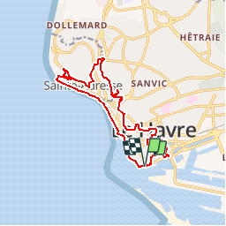


4,8 km | 5,9 km-effort

Gebruiker


Gratisgps-wandelapplicatie
 SityTrail
IGN / Geografische instituten
SityTrail World
De wereld gaat voor u open
Tocht Stappen van 14,2 km beschikbaar op Normandië, Seine-Maritime, Le Havre. Deze tocht wordt voorgesteld door tracegps.
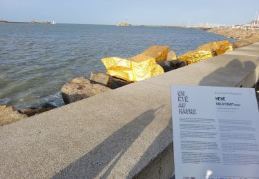
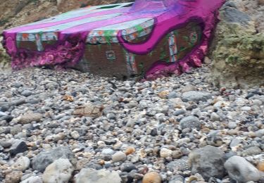
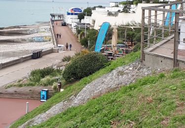
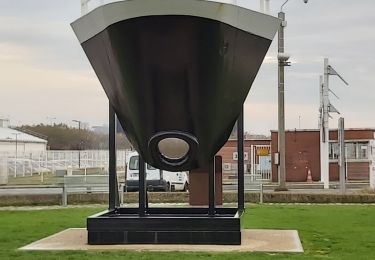
Découverte de la ville du Havre, son port, sa plage et son "nice havrais". Départ du parking du quai des Abeilles, Chaussée John Kennedy.


Te voet

Stappen
Stappen
Stappen
Noords wandelen
Stappen
Stappen

Stappen
Stappen