


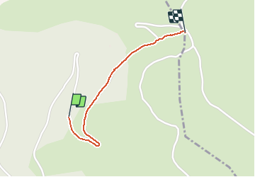

13,8 km | 21 km-effort


Gebruiker


Gratisgps-wandelapplicatie
 SityTrail
IGN / Geografische instituten
SityTrail World
De wereld gaat voor u open
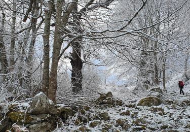
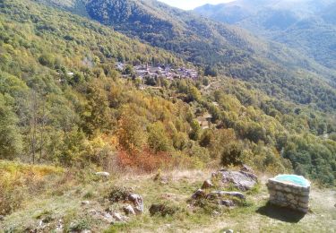
Tocht Sneeuwschoenen van 1,2 km beschikbaar op Occitanië, Ariège, Miglos. Deze tocht wordt voorgesteld door viem46.
raquette sur route eneigée
Elektrische fiets
Elektrische fiets
Te voet
Stappen
Stappen
Stappen

Stappen
Stappen