


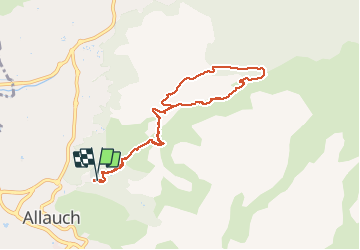


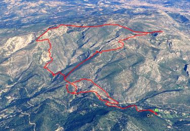
14,2 km | 24 km-effort


Gebruiker


Gratisgps-wandelapplicatie
 SityTrail
IGN / Geografische instituten
SityTrail World
De wereld gaat voor u open
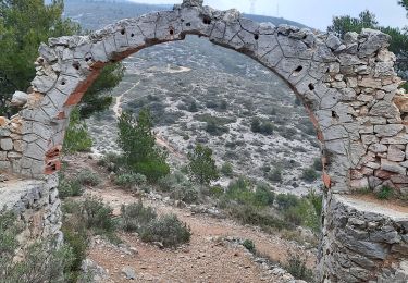
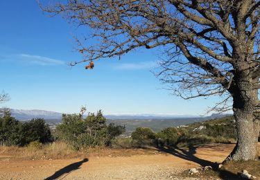
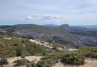
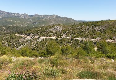
Tocht Stappen van 8,7 km beschikbaar op Provence-Alpes-Côte d'Azur, Bouches-du-Rhône, Allauch. Deze tocht wordt voorgesteld door vincent13.
10.02.2013


Stappen
Stappen
Stappen

Stappen
Stappen
Mountainbike
Mountainbike

Mountainbike

Andere activiteiten