


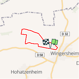

4,6 km | 5,8 km-effort


Gebruiker


Gratisgps-wandelapplicatie
 SityTrail
IGN / Geografische instituten
SityTrail World
De wereld gaat voor u open
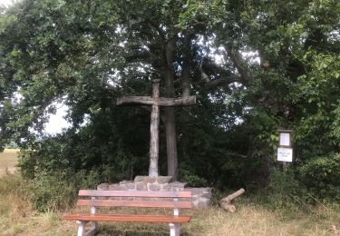
Tocht Stappen van 4 km beschikbaar op Grand Est, Bas-Rhin, Wingersheim les Quatre Bans. Deze tocht wordt voorgesteld door gepe67.
Possible par temps humide
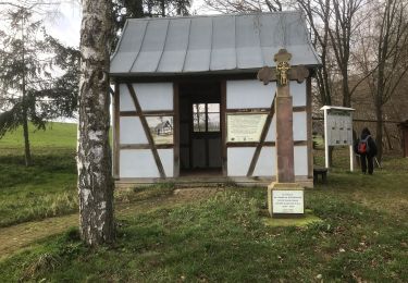
Stappen
Te voet
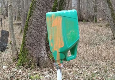
Stappen
Stappen

Te voet

Stappen

Stappen
Stappen
Stappen