


21 km | 26 km-effort


Gebruiker


Gratisgps-wandelapplicatie
 SityTrail
IGN / Geografische instituten
SityTrail World
De wereld gaat voor u open
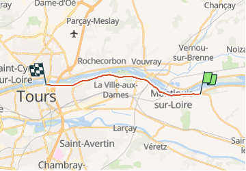
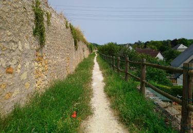
Tocht Fiets van 12,7 km beschikbaar op Centre-Val de Loire, Indre-et-Loire, Montlouis-sur-Loire. Deze tocht wordt voorgesteld door pierrethepot.
Entre tours et montlouis

Stappen

Stappen
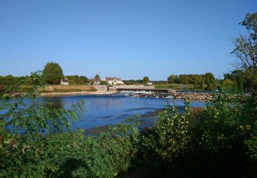
Stappen
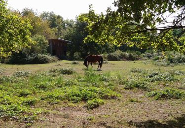
Stappen

Stappen

Stappen
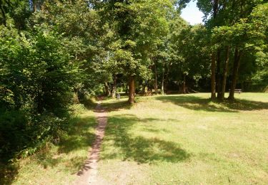
Stappen
Stappen

Stappen