


7,7 km | 13,8 km-effort

Gebruiker


Gratisgps-wandelapplicatie
 SityTrail
IGN / Geografische instituten
SityTrail World
De wereld gaat voor u open
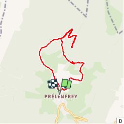
Tocht Stappen van 8,2 km beschikbaar op Auvergne-Rhône-Alpes, Isère, Le Gua. Deze tocht wordt voorgesteld door patjobou.
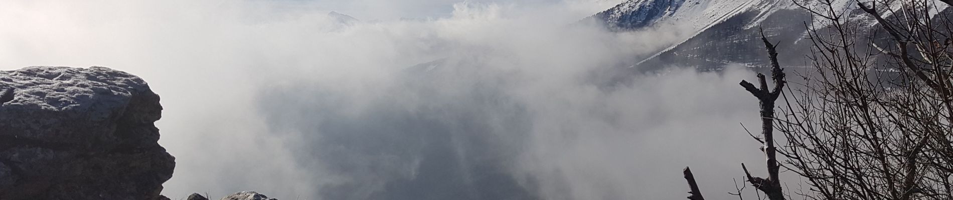
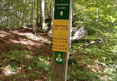
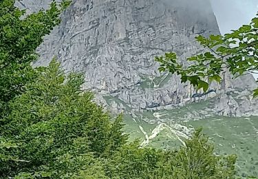
Belle boucle 'aventureuse' qui mène à un sommet peu fréquenté du sud du bassin Grenoblois. Après avoir quitté une piste forestière au point 1, on rejoint le sommet par un sentier à peu près balisé en bleu qui monte sous la crête. Belles vues au sommet. Nous redescendrons par la crête, où un autre sentier assez visible existe.
Au point 2, nous finirons la descente par l'ancien sentier écologique qui n'est plus entretenu ni balisé. Il est difficile à suivre; itinéraire réservé aux amateurs d'orientation. Sinon, le retour peut être fait facilement par le Col de l'Eperrimont.


Stappen
Stappen

Stappen

Stappen
Stappen
Stappen
Stappen
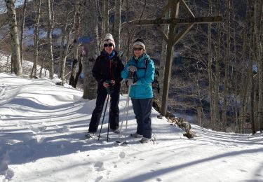
Sneeuwschoenen

Stappen