


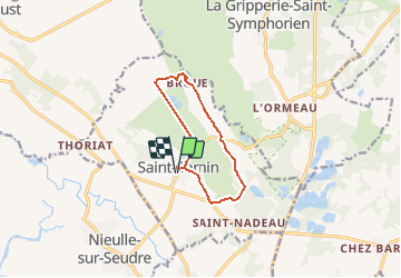

9,6 km | 10,1 km-effort


Gebruiker


Gratisgps-wandelapplicatie
 SityTrail
IGN / Geografische instituten
SityTrail World
De wereld gaat voor u open
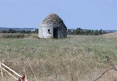
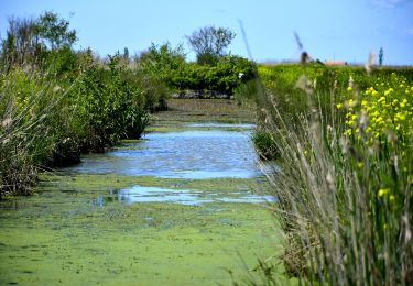
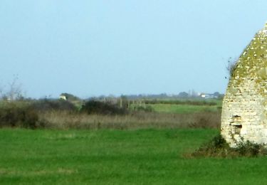
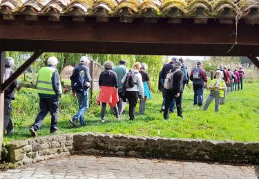
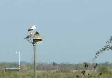
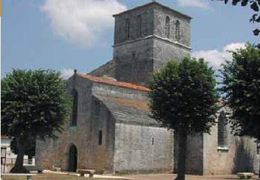
Tocht Te voet van 9,6 km beschikbaar op Nieuw-Aquitanië, Charente-Maritime, Saint-Sornin. Deze tocht wordt voorgesteld door Jos17.


Stappen
Te voet
Stappen
Stappen
Stappen
Te voet
Stappen
Stappen

Stappen