


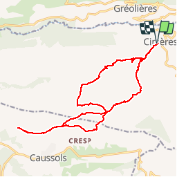

13,5 km | 18,6 km-effort
Sur les chemins tout va bien


Gratisgps-wandelapplicatie
 SityTrail
IGN / Geografische instituten
SityTrail World
De wereld gaat voor u open
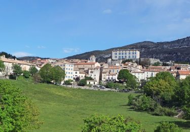
Tocht Stappen van 20 km beschikbaar op Provence-Alpes-Côte d'Azur, Alpes-Maritimes, Cipières. Deze tocht wordt voorgesteld door Aridomi.


Stappen
Te voet
Te voet
Te voet
Te voet
Te voet
Te voet
Te voet
Te voet