


27 km | 36 km-effort

Randonnez sur et autour des GR ® wallons (Sentiers de Grande Randonnée). PRO


Gratisgps-wandelapplicatie
 SityTrail
IGN / Geografische instituten
SityTrail World
De wereld gaat voor u open
Tocht Stappen van 14,1 km beschikbaar op Wallonië, Luik, Jalhay. Deze tocht wordt voorgesteld door GR Rando.
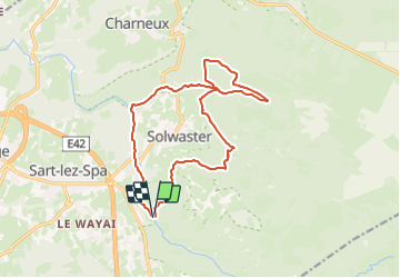
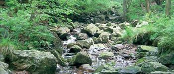
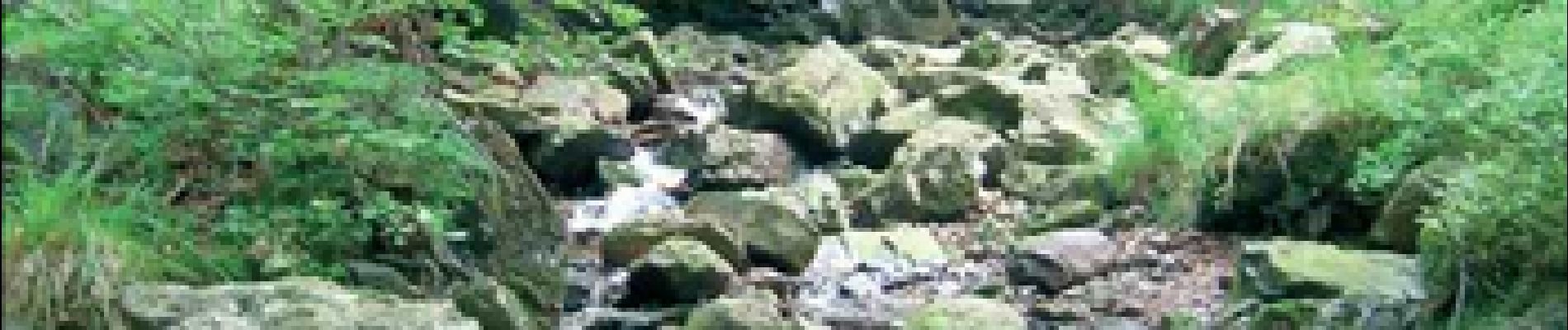
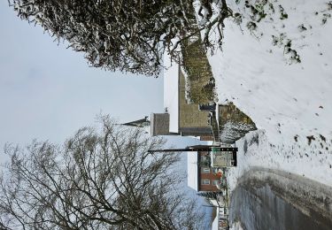
Au pied du plateau des Hautes Fagnes La balade des ruisseaux
Avertissement :
le long de la Hoëgne, du ruisseau de Bilisse et de la Sawe, les racines, les gros blocs de pierre et les rochers qui affleurent sur le parcours, de même que les planches des ponts et des caillebotis, peuvent être très glissants par temps de pluie. Munissez-vous pour cette balade de chaussures dont les semelles adhèrent bien. Un bâton peut être utile.
(Hoëgne, ru de Bilisse, Statte, Sawe)
Cartographie et documentation :
Cartes IGN au 1 : 20 000, 50/1-2 « Sart – Xhoffraix » et 43/5-6 « Limbourg – Eupen ».
Topo-guide du GR 573 « Vesdre – Hoëgne – Helle et Hautes Fagnes ».
Où se désaltérer et se restaurer :
Au pont de Belheid : un chalet café–restaurant et un restaurant.
À Solwaster : un café et des restaurants.
À Hockay : cafés et auberges.
Infos touristiques :
Syndicat d’Initiative de Sart-lez-Spa : www.sart.be
Syndicat d’Initiative de Jalhay, 4, rue de la Fagne, 4845 Jalhay, tél. 087/ 64 70 02


Stappen

Stappen

Stappen

Stappen

Stappen
Stappen

Lopen

Trail
Un coup de cœur 💚 pour cette rando