


21 km | 29 km-effort


Gebruiker


Gratisgps-wandelapplicatie
 SityTrail
IGN / Geografische instituten
SityTrail World
De wereld gaat voor u open
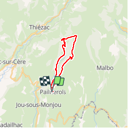
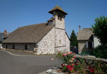
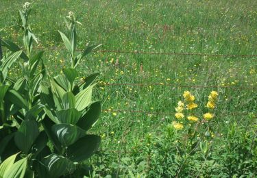
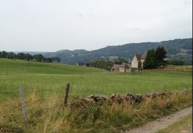
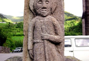
Tocht Stappen van 20 km beschikbaar op Auvergne-Rhône-Alpes, Cantal, Pailherols. Deze tocht wordt voorgesteld door th.feur.
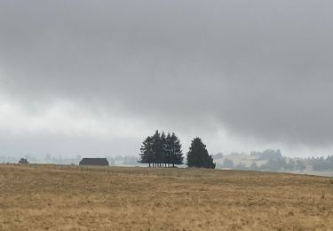
Stappen
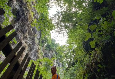
Stappen
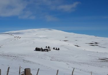
Stappen
Stappen

Stappen
Stappen
Stappen
Stappen
Stappen